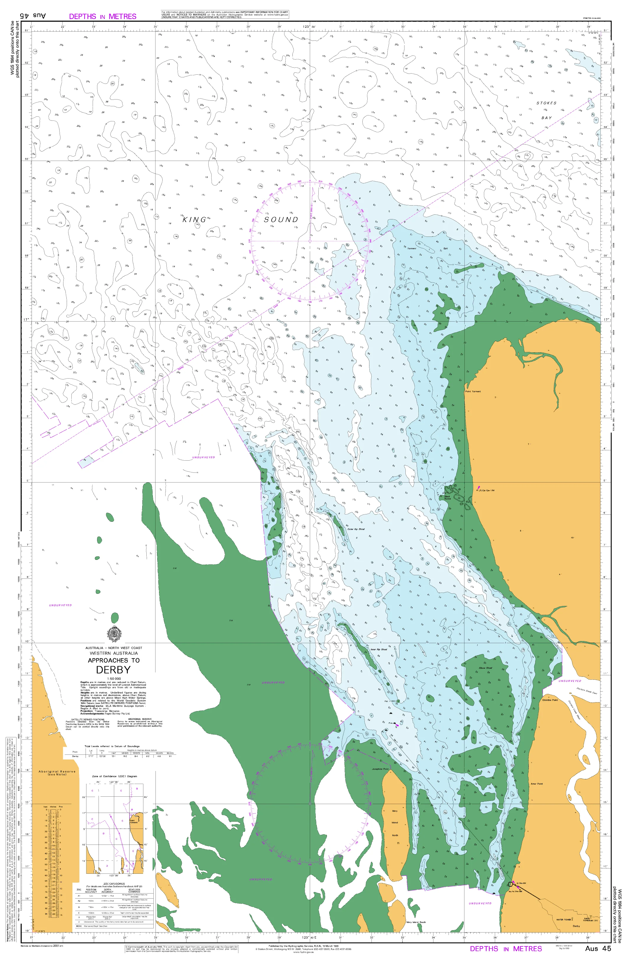
977 - Bowes DPI Chart
977 — Bowes
WA Department of Transport Nautical Chart
Fine-scale coastal navigation for exposed shoreline, reefs, and near-shore waters off the Bowes coast.
🚤 Navigate Bowes with Confidence
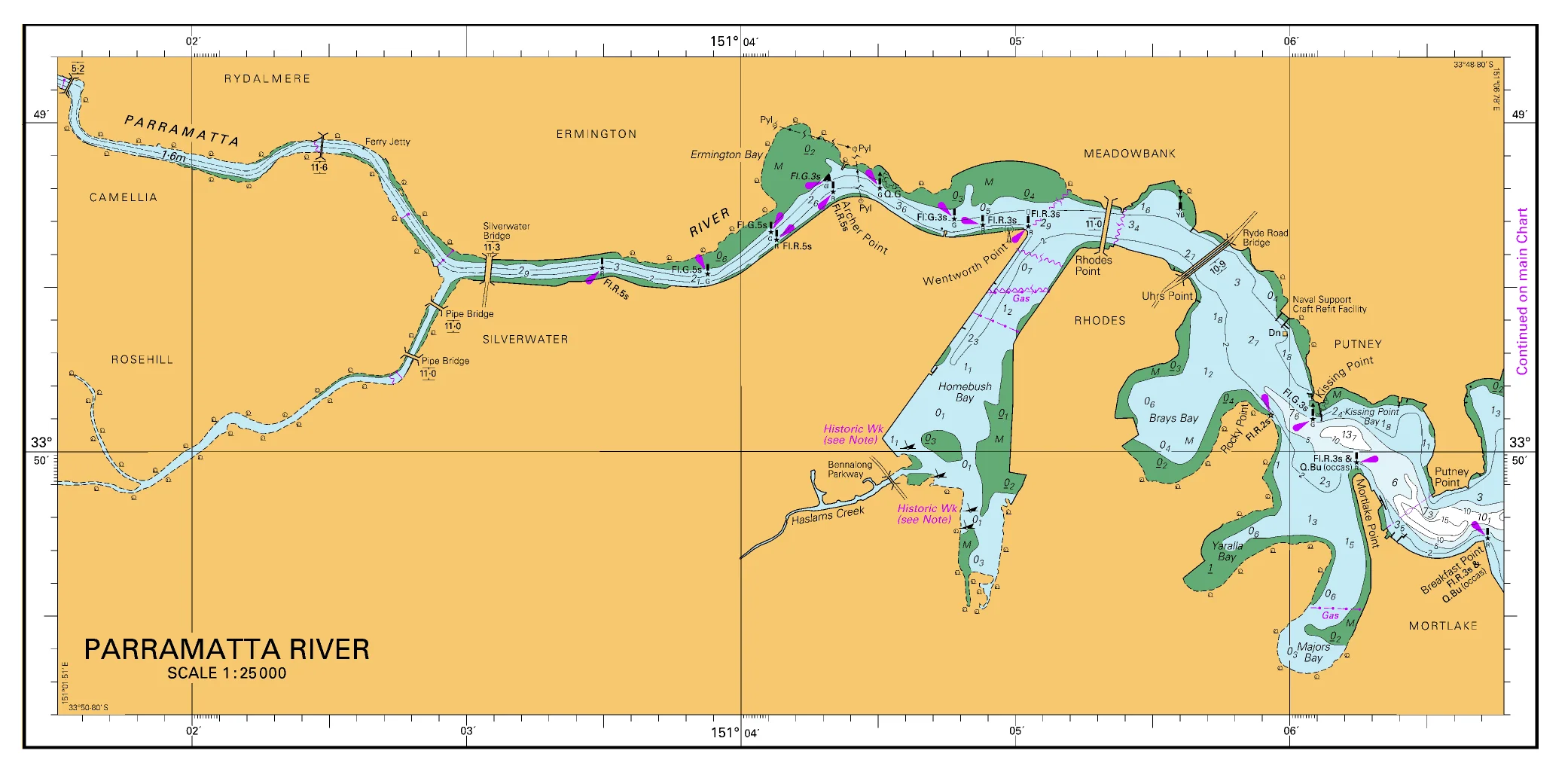
Chart 977 — Bowes is published by the Western Australian Department of Transport to support safe recreational and local commercial boating along the mid-west coastline near Bowes.
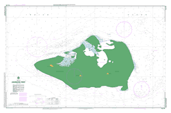
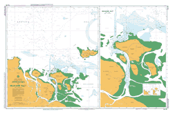
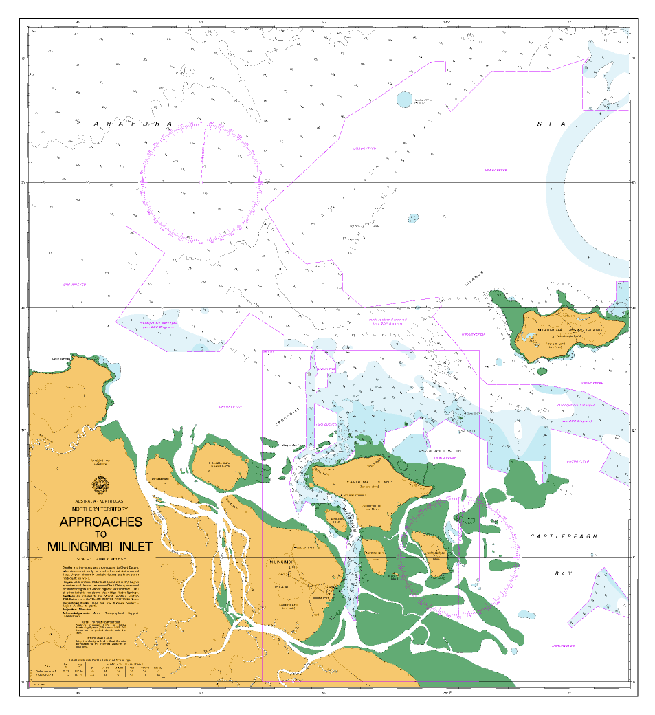
This chart provides large-scale detail of shallow coastal waters, reef systems, navigation aids, and hazards, making it an essential reference for skippers operating in an area characterised by open exposure, swell-affected conditions, and limited shelter.
🧭 Why Skippers Rely on This Chart
⚓ Authoritative WA source — Official Department of Transport publication
🗺️ Large working scale (1:25,000) — Ideal for near-shore navigation
🌊 Depth soundings & seabed detail clearly shown
🚦 Navigation aids marked — Lights, beacons, piles & nautical limits
⚠️ Hazard awareness — Reefs, rocks & shallow ground
🇦🇺 Printed in full colour — Clear, legible, and practical on board
The chart is compiled to specifications aligned with those of the International Hydrographic Organisation (IHO), ensuring recognised charting standards adapted to Western Australian coastal conditions.
🌊 Why Bowes Needs a Dedicated Chart
The Bowes coastline combines reef-strewn shallows with open ocean exposure, where accurate chart detail is critical. This chart helps skippers:
-
Identify reef edges and shallow areas
-
Plan safe coastal transits and near-shore approaches
-
Navigate confidently in swell-affected waters
-
Reference navigation aids and nautical limits
-
Support fishing, diving, and local boating activity
This is a working navigation chart, designed for practical on-water use.
👥 Who This Chart Is For
🚤 Recreational skippers boating the Bowes coast
🎣 Fishers working reef and near-shore grounds
🛥️ Local commercial & service vessels
🧭 Marine training and boating education
🗂️ Coastal planners and reference users
🎁 A practical local gift for WA boat owners
🗺️ What You’ll See on the Chart
Clear, uncluttered nautical information including:
-
Accurate depth soundings
-
Coastal outlines and seabed features
-
Lights, beacons, and piles
-
Defined nautical limits
-
Marked reefs, rocks, and hazards
-
Reference points for approach and route planning
Mariners should keep charts current by consulting the latest Notices to Mariners.
🖨️ Field-Ready Print Options
Choose the finish that suits mid-west coastal boating conditions:
📄 Paper (Standard)
Full-colour print on quality paper
Ideal for chart tables, planning, or protected use
💧 Waterproof DuPont™ Tyvek®
Tear-proof, water-resistant & foldable
Will not disintegrate when wet
Ideal for on-board navigation
✍️ Laminated (Write-On / Wipe-Off)
True encapsulation for maximum durability
Draw routes with whiteboard marker
Apply map dots without permanent marking
Resistant to tears, stains, and heavy handling
📐 Chart Specifications
| Detail | Information |
|---|---|
| Chart Number | 977 |
| Title | Bowes |
| Publisher | WA Department of Transport |
| Scale | 1:25,000 |
| Format | Single-sided sheet |
| Sheet Size | 840 mm × 590 mm |
| Colour | Full colour |
| Use | Recreational & local commercial boating |
| Origin | Printed in Australia |
⚠️ Important Navigation Notice
WA Department of Transport charts do not satisfy Australian or international chart carriage requirements, including SOLAS V.
For regulatory compliance, mariners must carry official charts published by the Australian Hydrographic Service or UK Admiralty.
This chart is intended for local navigation, planning, and situational awareness, where fine-scale coastal detail is essential.
🇦🇺 Our Commitment
Mapworld prints WA DPI charts locally using professional-grade materials, delivering clarity, durability, and reliability for real Western Australian boating conditions.
🧭 Read the reef. Watch the swell. Navigate with confidence.
Add Chart 977 — Bowes to your onboard navigation kit today.
Original: $55.00
-70%$55.00
$16.50
Description
977 — Bowes
WA Department of Transport Nautical Chart
Fine-scale coastal navigation for exposed shoreline, reefs, and near-shore waters off the Bowes coast.
🚤 Navigate Bowes with Confidence
Chart 977 — Bowes is published by the Western Australian Department of Transport to support safe recreational and local commercial boating along the mid-west coastline near Bowes.
This chart provides large-scale detail of shallow coastal waters, reef systems, navigation aids, and hazards, making it an essential reference for skippers operating in an area characterised by open exposure, swell-affected conditions, and limited shelter.
🧭 Why Skippers Rely on This Chart
⚓ Authoritative WA source — Official Department of Transport publication
🗺️ Large working scale (1:25,000) — Ideal for near-shore navigation
🌊 Depth soundings & seabed detail clearly shown
🚦 Navigation aids marked — Lights, beacons, piles & nautical limits
⚠️ Hazard awareness — Reefs, rocks & shallow ground
🇦🇺 Printed in full colour — Clear, legible, and practical on board
The chart is compiled to specifications aligned with those of the International Hydrographic Organisation (IHO), ensuring recognised charting standards adapted to Western Australian coastal conditions.
🌊 Why Bowes Needs a Dedicated Chart
The Bowes coastline combines reef-strewn shallows with open ocean exposure, where accurate chart detail is critical. This chart helps skippers:
-
Identify reef edges and shallow areas
-
Plan safe coastal transits and near-shore approaches
-
Navigate confidently in swell-affected waters
-
Reference navigation aids and nautical limits
-
Support fishing, diving, and local boating activity
This is a working navigation chart, designed for practical on-water use.
👥 Who This Chart Is For
🚤 Recreational skippers boating the Bowes coast
🎣 Fishers working reef and near-shore grounds
🛥️ Local commercial & service vessels
🧭 Marine training and boating education
🗂️ Coastal planners and reference users
🎁 A practical local gift for WA boat owners
🗺️ What You’ll See on the Chart
Clear, uncluttered nautical information including:
-
Accurate depth soundings
-
Coastal outlines and seabed features
-
Lights, beacons, and piles
-
Defined nautical limits
-
Marked reefs, rocks, and hazards
-
Reference points for approach and route planning
Mariners should keep charts current by consulting the latest Notices to Mariners.
🖨️ Field-Ready Print Options
Choose the finish that suits mid-west coastal boating conditions:
📄 Paper (Standard)
Full-colour print on quality paper
Ideal for chart tables, planning, or protected use
💧 Waterproof DuPont™ Tyvek®
Tear-proof, water-resistant & foldable
Will not disintegrate when wet
Ideal for on-board navigation
✍️ Laminated (Write-On / Wipe-Off)
True encapsulation for maximum durability
Draw routes with whiteboard marker
Apply map dots without permanent marking
Resistant to tears, stains, and heavy handling
📐 Chart Specifications
| Detail | Information |
|---|---|
| Chart Number | 977 |
| Title | Bowes |
| Publisher | WA Department of Transport |
| Scale | 1:25,000 |
| Format | Single-sided sheet |
| Sheet Size | 840 mm × 590 mm |
| Colour | Full colour |
| Use | Recreational & local commercial boating |
| Origin | Printed in Australia |
⚠️ Important Navigation Notice
WA Department of Transport charts do not satisfy Australian or international chart carriage requirements, including SOLAS V.
For regulatory compliance, mariners must carry official charts published by the Australian Hydrographic Service or UK Admiralty.
This chart is intended for local navigation, planning, and situational awareness, where fine-scale coastal detail is essential.
🇦🇺 Our Commitment
Mapworld prints WA DPI charts locally using professional-grade materials, delivering clarity, durability, and reliability for real Western Australian boating conditions.
🧭 Read the reef. Watch the swell. Navigate with confidence.
Add Chart 977 — Bowes to your onboard navigation kit today.