British Columbia South ITMB Map
From the Pacific Coast to the Rockies
Scale: 1:900,000 | Size: 690 mm x 1000 mm | Waterproof & Tear-Resistant
Explore the Wild Majesty of Southern British Columbia
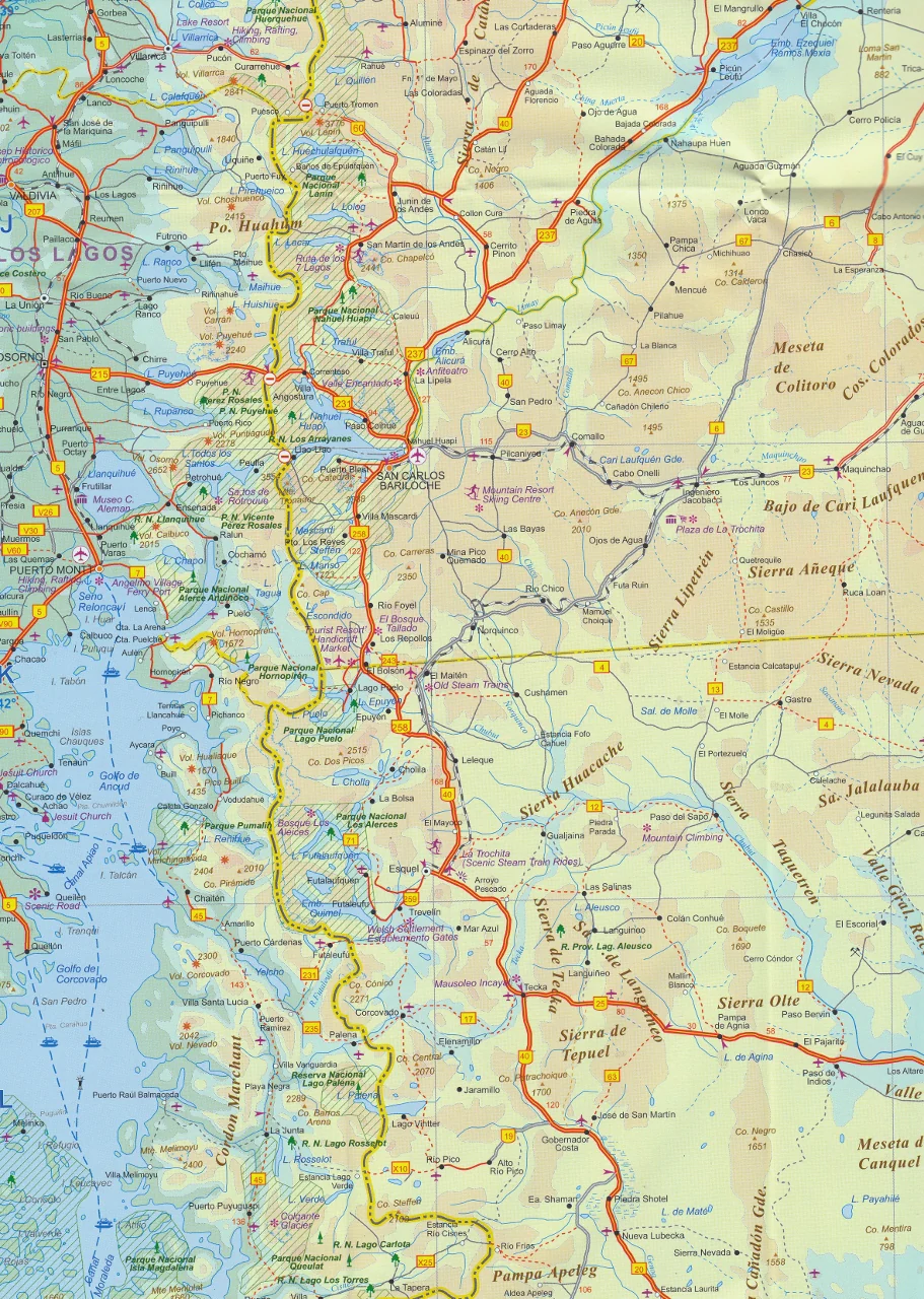
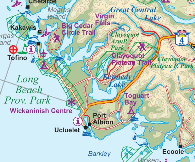
From the rainforests of Vancouver Island to the soaring alpine peaks of Jasper and Banff, the British Columbia South Map by ITMB (International Travel Maps) is your trusted companion to one of North America’s most stunning and diverse landscapes. Whether you’re planning a scenic road trip, an extended motorhome adventure, or a backpacking journey across national parks, this map provides the detail, durability, and accuracy you need to travel with confidence.
Covering a broad swath of terrain between Vancouver and Calgary, and stretching from Seattle to well north of Prince George, this is an indispensable resource for both casual travellers and outdoor enthusiasts.
🌲 Coverage Highlights
This beautifully rendered map includes:
-
All major highways and scenic routes, including the Trans-Canada Highway
-
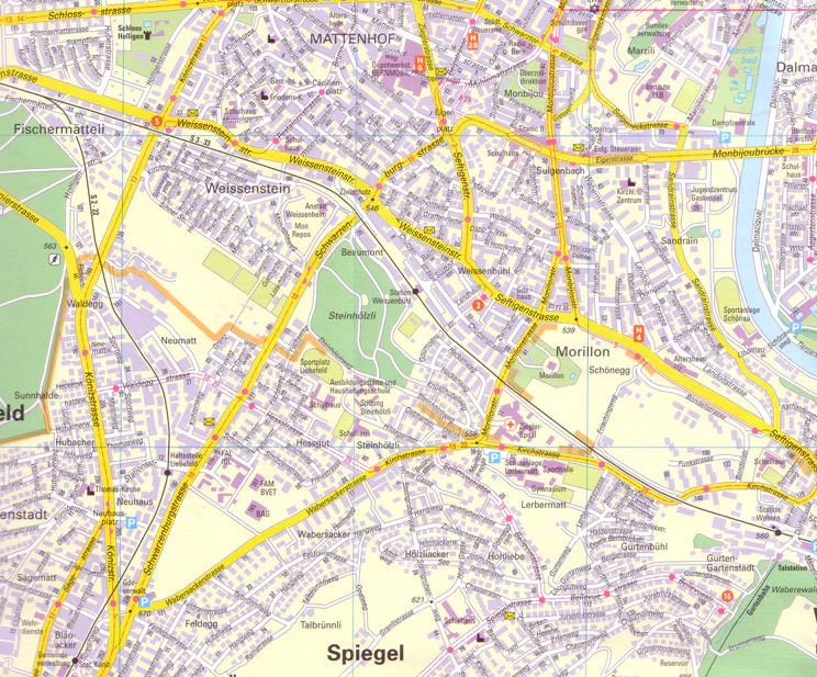
Inset city maps of Downtown Vancouver and Victoria for detailed urban navigation
-
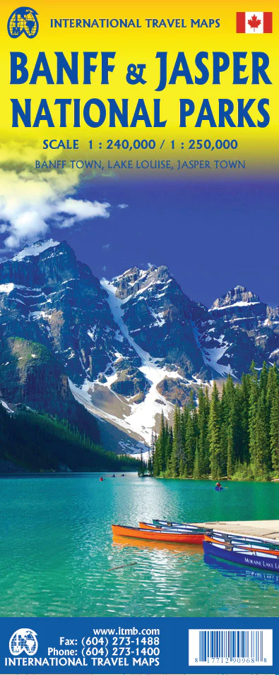
Full coverage of the Rocky Mountain national parks, including:
-
Banff National Park
-
Yoho National Park
-
Kootenay National Park
-
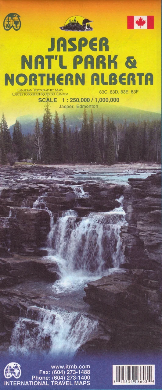
Jasper National Park
-
🏕️ Ideal for Adventurers & Road Trippers
With British Columbia being roughly the size of Western Europe but home to just over four million people, the vast majority of the province remains pristine and untamed. This map is particularly useful for:
-
🚐 Motorhome travellers flying into Calgary or Vancouver
-
🥾 Backcountry explorers seeking campsites, trails, and scenic backroads
-
🌲 National Park adventurers touring the Icefields Parkway and the Continental Divide
-
🧭 Outdoor photographers and road trippers mapping their routes through mountainous terrain
💧 Printed on Stone Paper – Waterproof & Eco-Friendly
This edition is printed on a revolutionary stone-based waterproof paper that is:
-
✅ Tear-resistant – Won’t rip in wind or backpack
-
✅ Completely biodegradable – Made without trees or water
-
✅ Weatherproof – Perfect for use in wet or unpredictable climates
-
✅ Durable and long-lasting
🔍 Additional Features
-
All roads, highways, and national routes clearly marked
-
Scenic viewpoints, tourist attractions, and parks highlighted
-
Topographic detail for elevation and terrain awareness
-
Protected areas and wilderness zones shown
-
Distances between points to assist in planning
Optional Laminated Finish
Looking to use your map as a planning board or a visual record of your journey? We offer a laminated version of this map:
-
✏️ Use whiteboard markers to trace your route
-
📍 Apply map dots to highlight campsites, towns, and must-sees
-
💪 Extra protection against tears, stains, and moisture
Please note: Laminated versions are created by flattening and encapsulating a folded map, so slight fold lines may still be visible.
📐 Specifications
| Feature | Details |
|---|---|
| Publisher | International Travel Maps (ITMB) |
| Scale | 1:900,000 |
| Size (Open) | 690 mm x 1000 mm |
| Material | Waterproof stone paper |
| Finish Options | Waterproof paper / Laminated |
| Inset Maps | Downtown Vancouver, Victoria |
| Edition | Latest available |
| Made for | Travellers, campers, tourers |
✅ Why Buy This Map?
✔️ The most comprehensive regional map of Southern BC available
✔️ Covers both urban areas and wilderness in precise detail
✔️ Ideal for 4WD, road trip, and outdoor expedition planning
✔️ Printed on eco-conscious stone paper – tough, clean, and sustainable
✔️ Made to withstand the wild weather of Canada’s backcountry
Whether you're crossing mountain passes, ferrying to Vancouver Island, or watching the sunrise over Lake Louise, this map is your gateway to the heart of British Columbia's great southern frontier.
Plan boldly. Travel widely. Bring the right map.
Original: $24.95
-70%$24.95
$7.48


Description
From the Pacific Coast to the Rockies
Scale: 1:900,000 | Size: 690 mm x 1000 mm | Waterproof & Tear-Resistant
Explore the Wild Majesty of Southern British Columbia
From the rainforests of Vancouver Island to the soaring alpine peaks of Jasper and Banff, the British Columbia South Map by ITMB (International Travel Maps) is your trusted companion to one of North America’s most stunning and diverse landscapes. Whether you’re planning a scenic road trip, an extended motorhome adventure, or a backpacking journey across national parks, this map provides the detail, durability, and accuracy you need to travel with confidence.
Covering a broad swath of terrain between Vancouver and Calgary, and stretching from Seattle to well north of Prince George, this is an indispensable resource for both casual travellers and outdoor enthusiasts.
🌲 Coverage Highlights
This beautifully rendered map includes:
-
All major highways and scenic routes, including the Trans-Canada Highway
-
Inset city maps of Downtown Vancouver and Victoria for detailed urban navigation
-
Full coverage of the Rocky Mountain national parks, including:
-
Banff National Park
-
Yoho National Park
-
Kootenay National Park
-
Jasper National Park
-
🏕️ Ideal for Adventurers & Road Trippers
With British Columbia being roughly the size of Western Europe but home to just over four million people, the vast majority of the province remains pristine and untamed. This map is particularly useful for:
-
🚐 Motorhome travellers flying into Calgary or Vancouver
-
🥾 Backcountry explorers seeking campsites, trails, and scenic backroads
-
🌲 National Park adventurers touring the Icefields Parkway and the Continental Divide
-
🧭 Outdoor photographers and road trippers mapping their routes through mountainous terrain
💧 Printed on Stone Paper – Waterproof & Eco-Friendly
This edition is printed on a revolutionary stone-based waterproof paper that is:
-
✅ Tear-resistant – Won’t rip in wind or backpack
-
✅ Completely biodegradable – Made without trees or water
-
✅ Weatherproof – Perfect for use in wet or unpredictable climates
-
✅ Durable and long-lasting
🔍 Additional Features
-
All roads, highways, and national routes clearly marked
-
Scenic viewpoints, tourist attractions, and parks highlighted
-
Topographic detail for elevation and terrain awareness
-
Protected areas and wilderness zones shown
-
Distances between points to assist in planning
Optional Laminated Finish
Looking to use your map as a planning board or a visual record of your journey? We offer a laminated version of this map:
-
✏️ Use whiteboard markers to trace your route
-
📍 Apply map dots to highlight campsites, towns, and must-sees
-
💪 Extra protection against tears, stains, and moisture
Please note: Laminated versions are created by flattening and encapsulating a folded map, so slight fold lines may still be visible.
📐 Specifications
| Feature | Details |
|---|---|
| Publisher | International Travel Maps (ITMB) |
| Scale | 1:900,000 |
| Size (Open) | 690 mm x 1000 mm |
| Material | Waterproof stone paper |
| Finish Options | Waterproof paper / Laminated |
| Inset Maps | Downtown Vancouver, Victoria |
| Edition | Latest available |
| Made for | Travellers, campers, tourers |
✅ Why Buy This Map?
✔️ The most comprehensive regional map of Southern BC available
✔️ Covers both urban areas and wilderness in precise detail
✔️ Ideal for 4WD, road trip, and outdoor expedition planning
✔️ Printed on eco-conscious stone paper – tough, clean, and sustainable
✔️ Made to withstand the wild weather of Canada’s backcountry
Whether you're crossing mountain passes, ferrying to Vancouver Island, or watching the sunrise over Lake Louise, this map is your gateway to the heart of British Columbia's great southern frontier.
Plan boldly. Travel widely. Bring the right map.