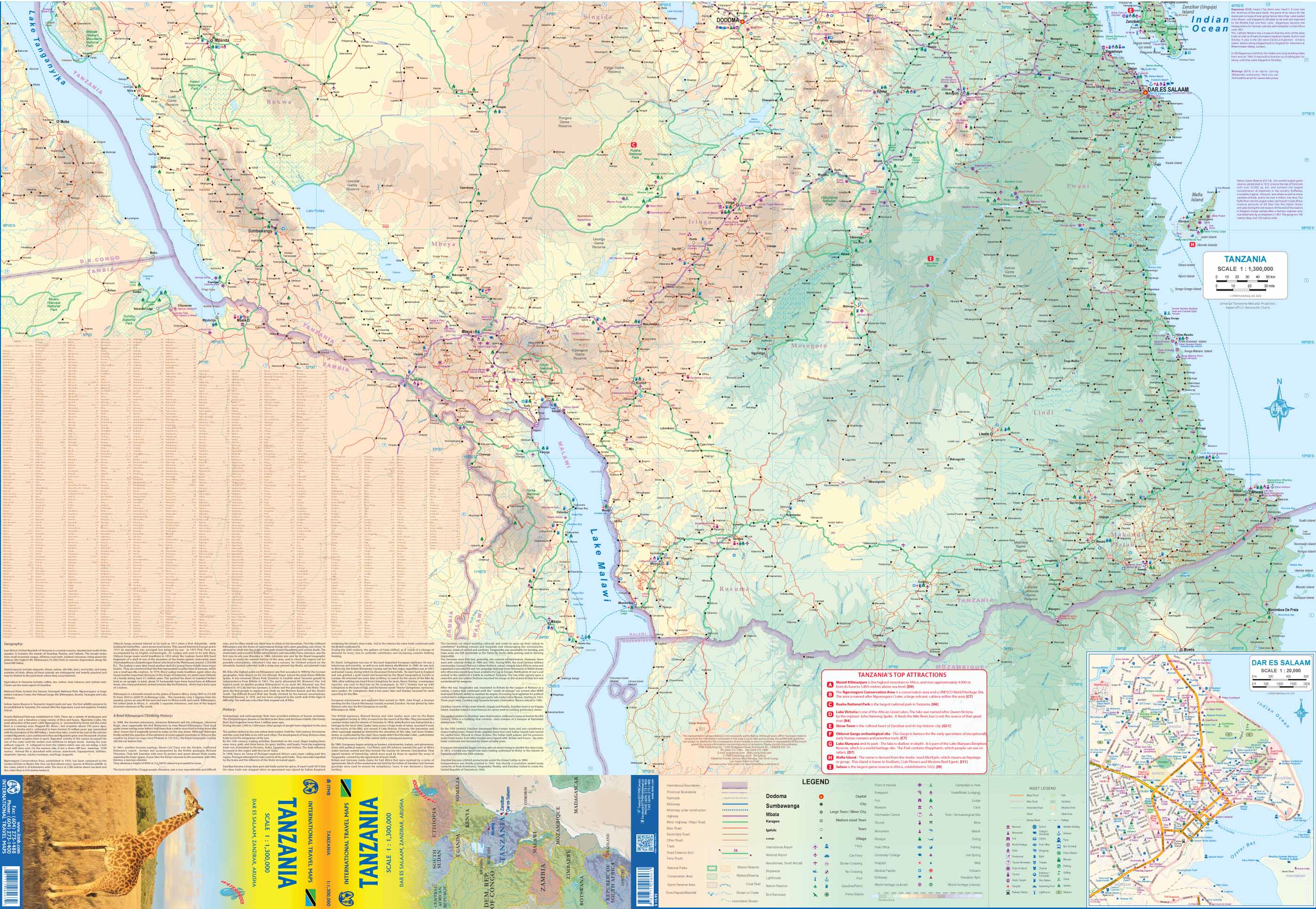
Burkina Faso & West Africa ITMB Map
Double-Sided Map • Regional Context • Cultural Sites • Updated Detail
Explore the heart of West Africa with this newly updated and thoughtfully redesigned Burkina Faso & West Africa Map by ITMB. Perfect for travellers, researchers, aid workers, and educators alike, this double-sided map offers exceptional cartographic detail of Burkina Faso on one side and a comprehensive overview of West Africa on the reverse.
Whether you're navigating the winding streets of Ouagadougou, heading into the national parks in search of elephants, or planning travel across Mauritania to Cameroon, this map is an indispensable companion.
🌍 Map Highlights
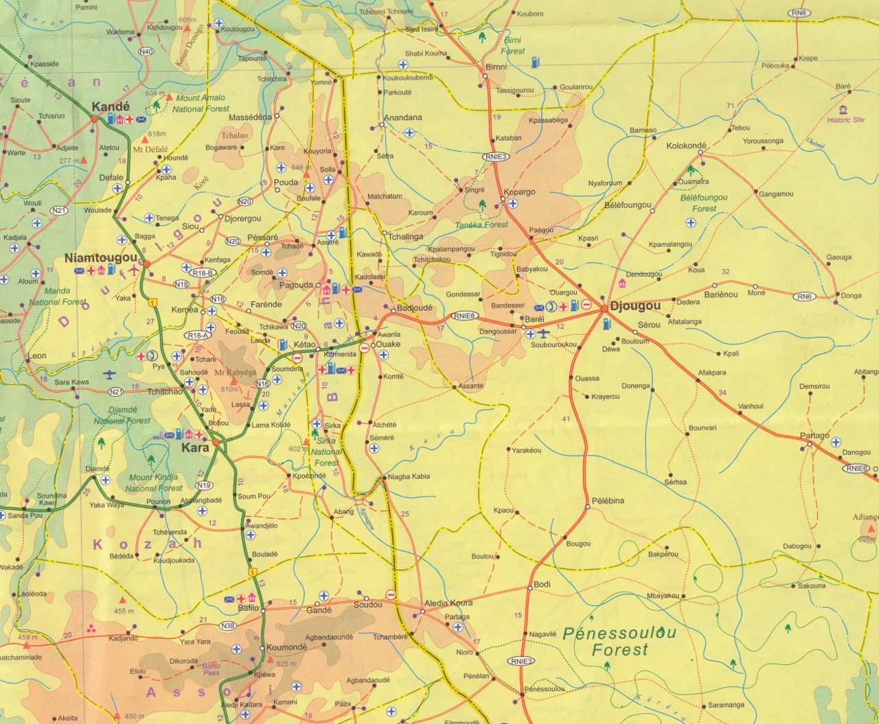
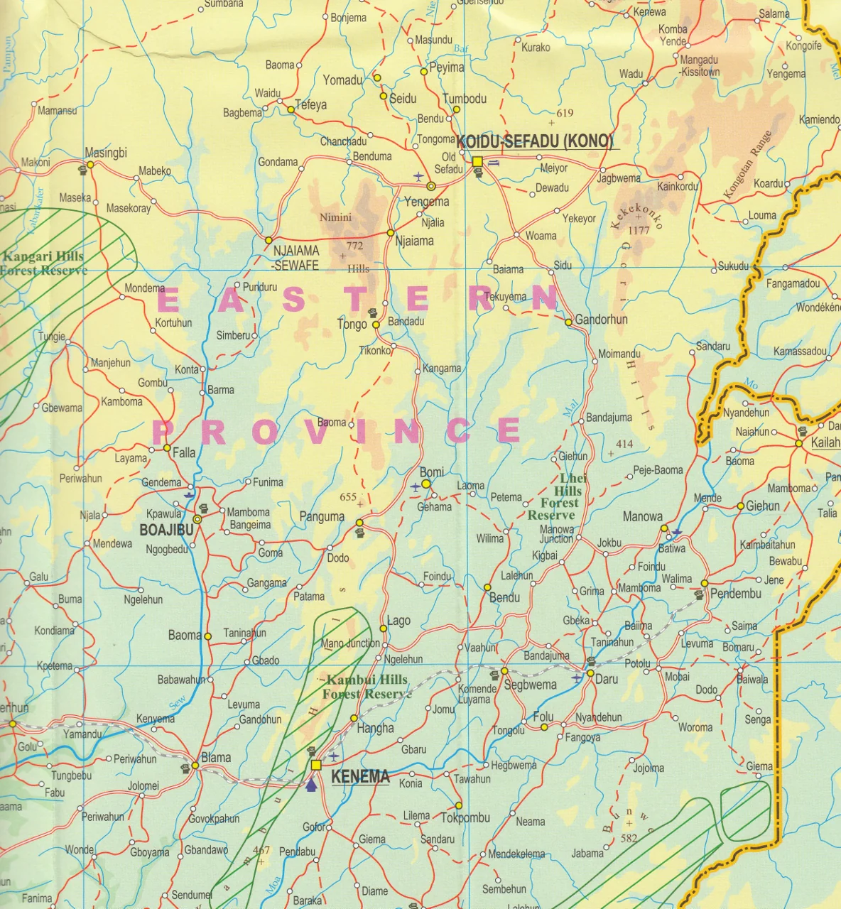
Side 1: Burkina Faso (1:950,000 scale)
-
Detailed countrywide coverage of Burkina Faso, including roads, towns, rivers, and national parks
-
Large-scale inset maps of major cities:
-
Ouagadougou – capital and cultural hub
-
Bobo-Dioulasso – second-largest city, known for music and heritage
-
-
Highlights Top 9 Attractions including:
-
W-Arly-Pendjari Parks (West Africa’s largest elephant population)
-
Tiebele’s traditional Kassena architecture
-
Historic trade centres and cultural sites tracing back to the 1500s
-
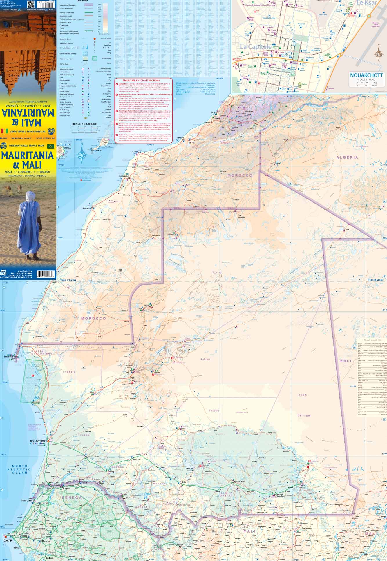
Side 2: West Africa Regional Map (1:4,800,000 scale)
-
Spans from Mauritania in the west to Cameroon in the east
-
Includes coastal nations and Sahel belt countries: Senegal, Mali, Niger, Ghana, Nigeria, Benin, Togo, Ivory Coast, Liberia, Sierra Leone, Guinea, and more
-
Ideal for contextualising cross-border travel and understanding the broader geopolitical and physical geography of the region
🧳 Who Is This Map For?
-
✈️ Adventure and cultural travellers exploring Burkina Faso or West Africa
-
📚 Educators and students studying African history, politics, or geography
-
🧭 NGOs, aid workers, and development professionals needing field-ready reference material
-
🗺️ Map collectors and enthusiasts looking for a rare and comprehensive regional edition
🛡️ Optional Lamination Available
We offer the option to laminate this map for enhanced durability and usability. Lamination allows you to:
-
✍️ Write on it using whiteboard markers (perfect for planning routes)
-
📌 Apply map dots or pins without damaging the surface
-
💧 Protect against tears, moisture, and stains – ideal for field use
Note: Laminated maps are created by flattening the folded version and encapsulating it in premium 80-micron gloss laminate. Some faint original fold lines may remain visible.
📐 Specifications
| Feature | Details |
|---|---|
| Edition | Most recent, fully updated |
| Scale | 1:950,000 (Burkina Faso) / 1:4,800,000 (West Africa) |
| Format | Double-sided paper (lamination optional) |
| Size | 680 mm x 990 mm (approx. 27 in. x 39 in.) |
| Publisher | ITMB Publishing (Canada) |
🌟 Why Buy This Map?
✔️ The most detailed standalone Burkina Faso map on the market
✔️ Dual purpose – covers an entire country and the broader West African region
✔️ Perfect for route planning, overland travel, and cultural exploration
✔️ Includes hard-to-find insights, such as top attractions and detailed city insets
✔️ Durable and functional for educational, professional, or recreational use
Original: $24.95
-70%$24.95
$7.48


Description
Double-Sided Map • Regional Context • Cultural Sites • Updated Detail
Explore the heart of West Africa with this newly updated and thoughtfully redesigned Burkina Faso & West Africa Map by ITMB. Perfect for travellers, researchers, aid workers, and educators alike, this double-sided map offers exceptional cartographic detail of Burkina Faso on one side and a comprehensive overview of West Africa on the reverse.
Whether you're navigating the winding streets of Ouagadougou, heading into the national parks in search of elephants, or planning travel across Mauritania to Cameroon, this map is an indispensable companion.
🌍 Map Highlights
Side 1: Burkina Faso (1:950,000 scale)
-
Detailed countrywide coverage of Burkina Faso, including roads, towns, rivers, and national parks
-
Large-scale inset maps of major cities:
-
Ouagadougou – capital and cultural hub
-
Bobo-Dioulasso – second-largest city, known for music and heritage
-
-
Highlights Top 9 Attractions including:
-
W-Arly-Pendjari Parks (West Africa’s largest elephant population)
-
Tiebele’s traditional Kassena architecture
-
Historic trade centres and cultural sites tracing back to the 1500s
-
Side 2: West Africa Regional Map (1:4,800,000 scale)
-
Spans from Mauritania in the west to Cameroon in the east
-
Includes coastal nations and Sahel belt countries: Senegal, Mali, Niger, Ghana, Nigeria, Benin, Togo, Ivory Coast, Liberia, Sierra Leone, Guinea, and more
-
Ideal for contextualising cross-border travel and understanding the broader geopolitical and physical geography of the region
🧳 Who Is This Map For?
-
✈️ Adventure and cultural travellers exploring Burkina Faso or West Africa
-
📚 Educators and students studying African history, politics, or geography
-
🧭 NGOs, aid workers, and development professionals needing field-ready reference material
-
🗺️ Map collectors and enthusiasts looking for a rare and comprehensive regional edition
🛡️ Optional Lamination Available
We offer the option to laminate this map for enhanced durability and usability. Lamination allows you to:
-
✍️ Write on it using whiteboard markers (perfect for planning routes)
-
📌 Apply map dots or pins without damaging the surface
-
💧 Protect against tears, moisture, and stains – ideal for field use
Note: Laminated maps are created by flattening the folded version and encapsulating it in premium 80-micron gloss laminate. Some faint original fold lines may remain visible.
📐 Specifications
| Feature | Details |
|---|---|
| Edition | Most recent, fully updated |
| Scale | 1:950,000 (Burkina Faso) / 1:4,800,000 (West Africa) |
| Format | Double-sided paper (lamination optional) |
| Size | 680 mm x 990 mm (approx. 27 in. x 39 in.) |
| Publisher | ITMB Publishing (Canada) |
🌟 Why Buy This Map?
✔️ The most detailed standalone Burkina Faso map on the market
✔️ Dual purpose – covers an entire country and the broader West African region
✔️ Perfect for route planning, overland travel, and cultural exploration
✔️ Includes hard-to-find insights, such as top attractions and detailed city insets
✔️ Durable and functional for educational, professional, or recreational use