Canada & Newfoundland Historical Pictorial Wall Map
🍁 Canada & Newfoundland – Historical Pictorial Wall Map
A Vintage Tribute to the Great Dominion
Size: 1000 mm (W) × 662 mm (H)
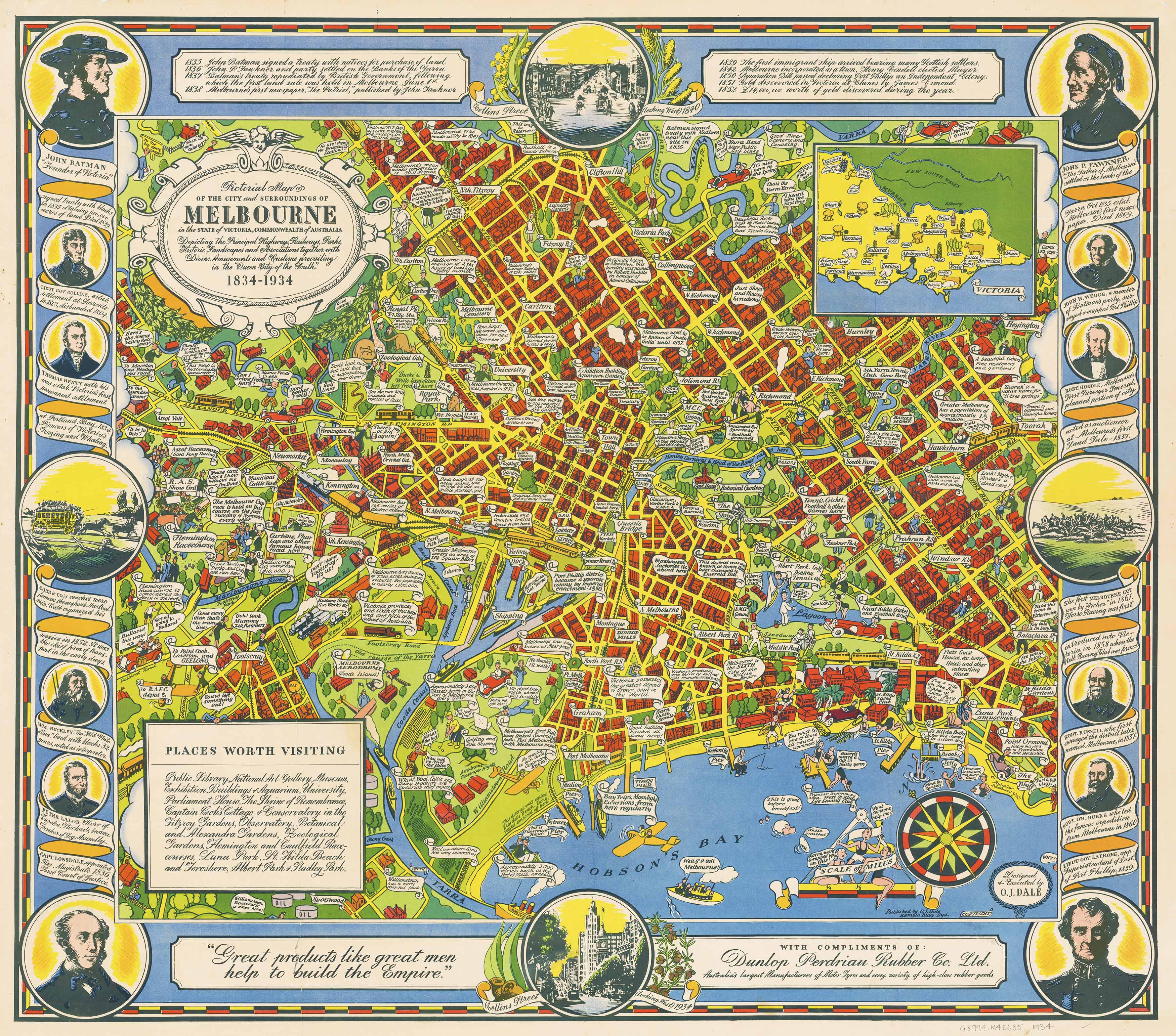
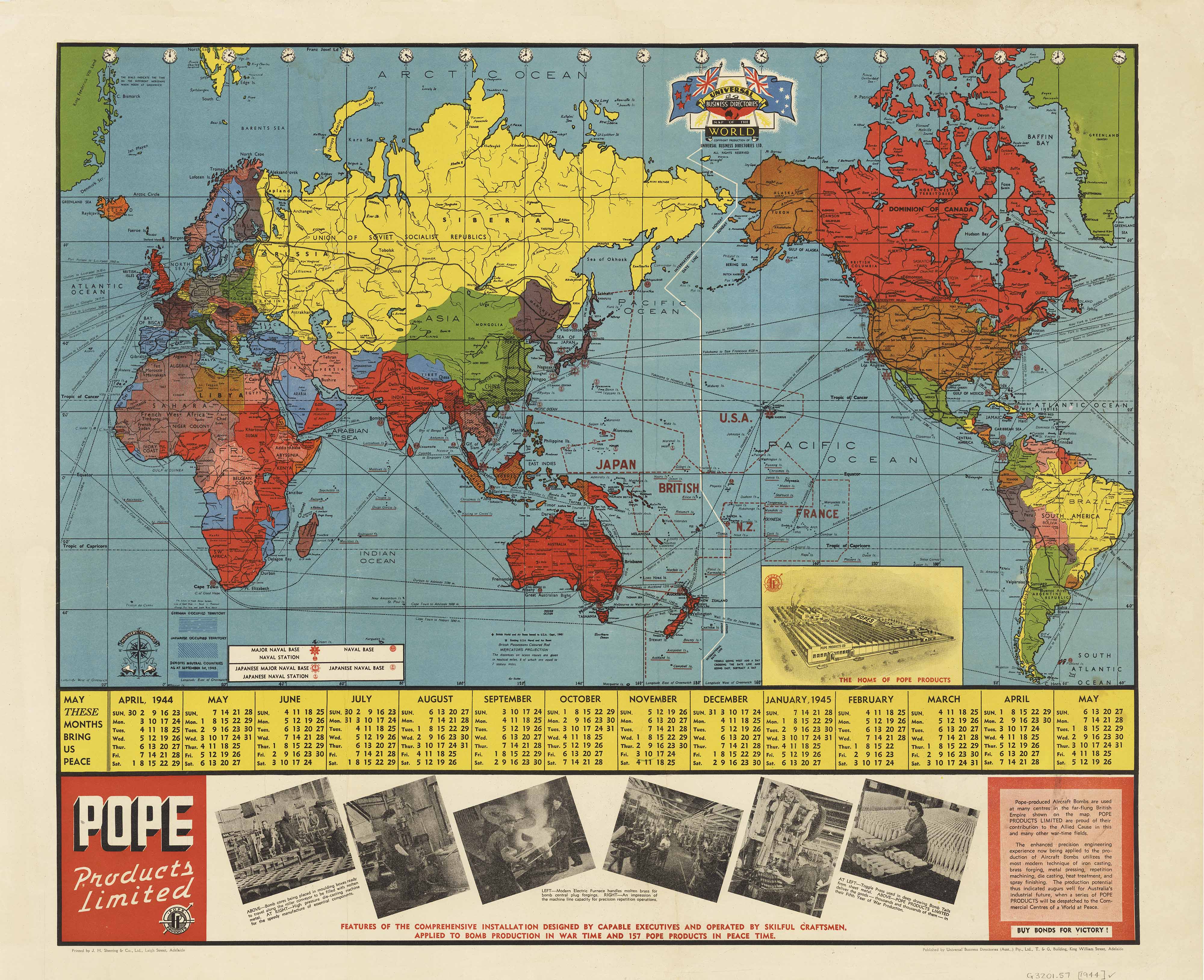
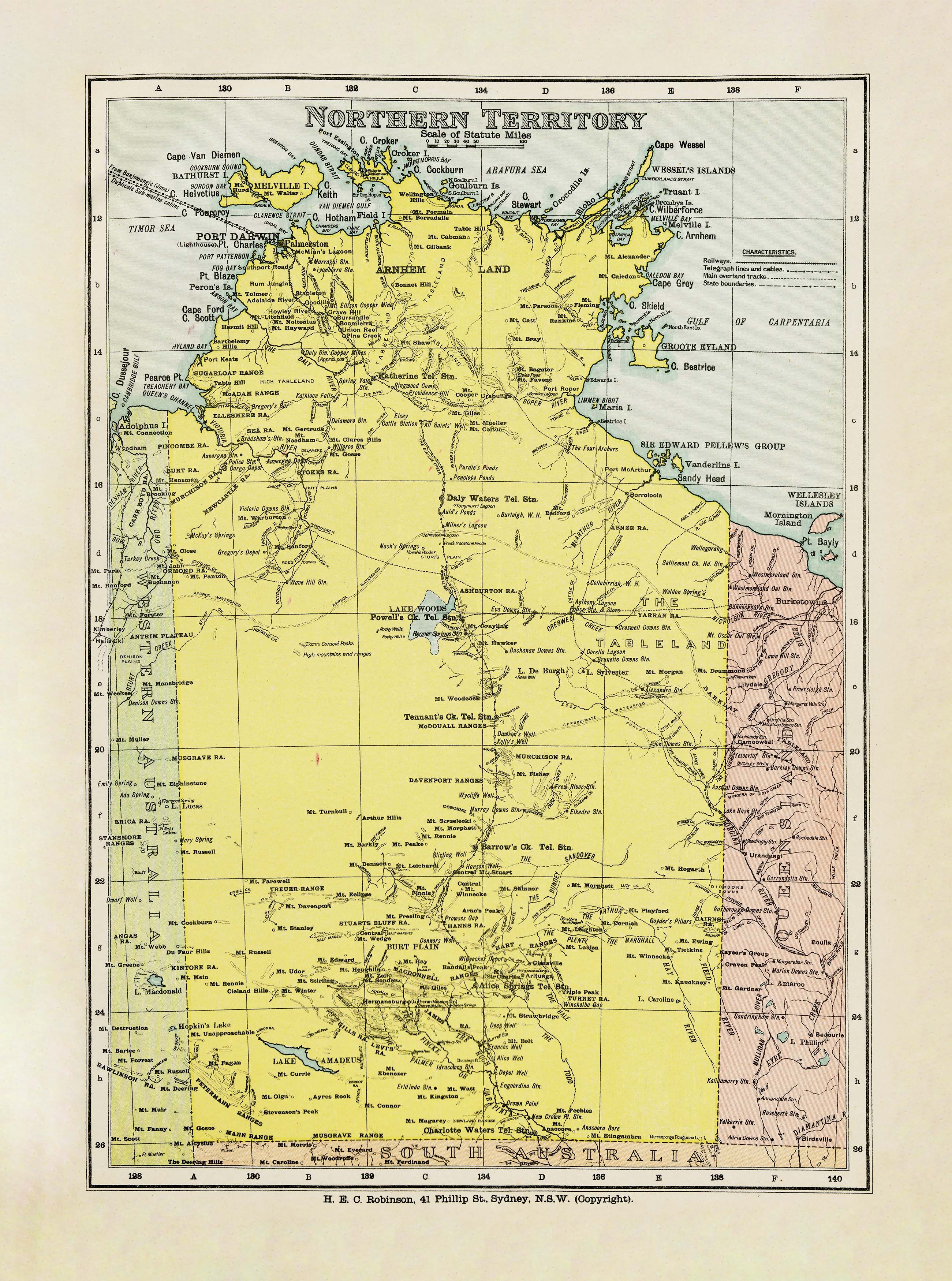
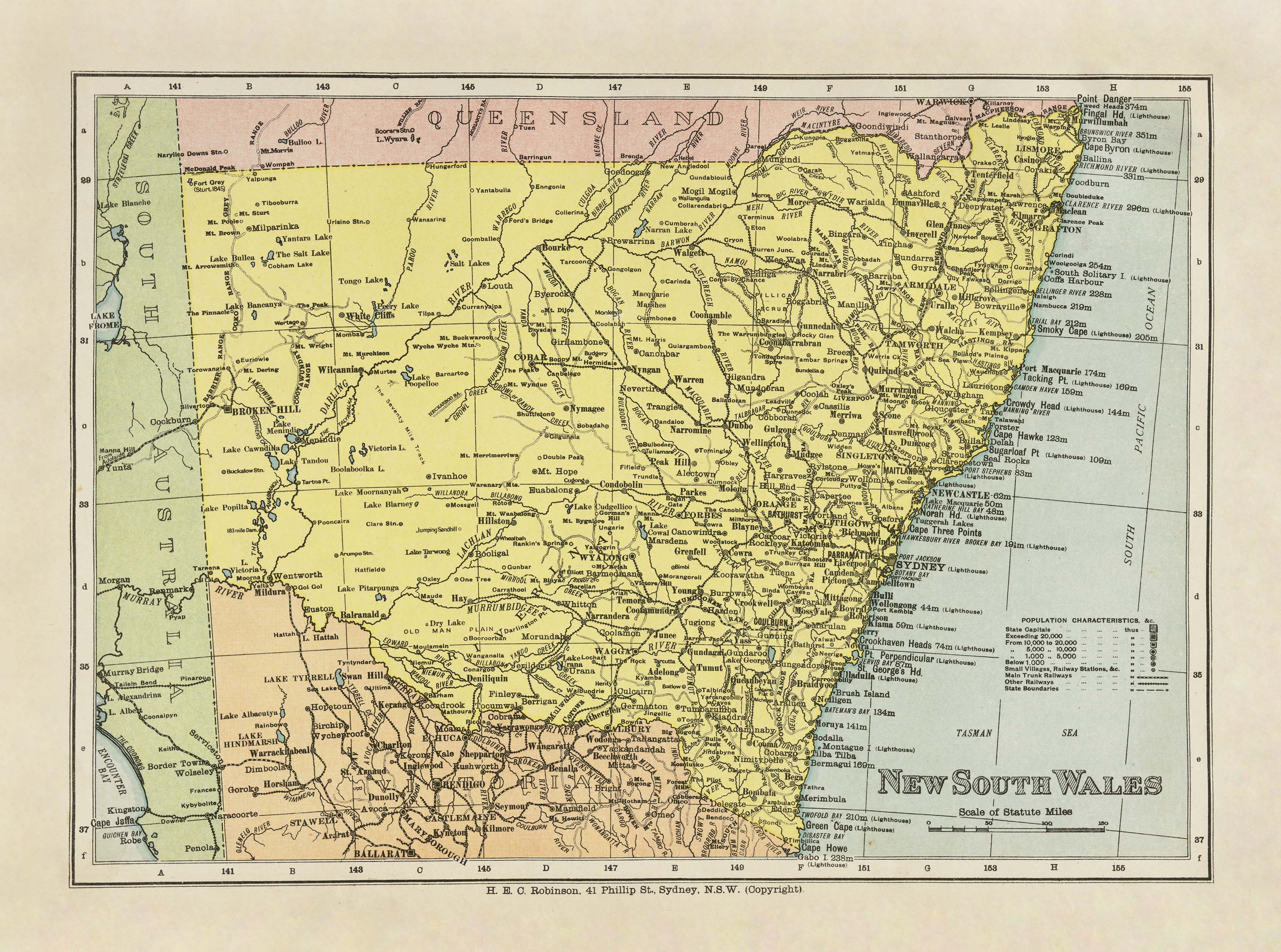
Celebrate the rich heritage and geographic grandeur of Canada and Newfoundland with this beautifully illustrated historical pictorial map. Depicting the nation in a style that blends artistry and cartographic precision, this map captures both the natural beauty and the economic lifeblood of the land.
From the forests of British Columbia to the fishing ports of Newfoundland, every province and territory is brought to life through hand-rendered illustrations and labelled place names. The map also depicts natural resources such as mines, farmland, factories, and forests, making it both a decorative showpiece and an educational reference.
🖌 Artistic & Historical Highlights
-
Detailed Place Names – Clearly labelled towns, regions, and key geographical features.
-
Resource Illustrations – Visual icons showing Canada’s abundant resources, including mining areas, agricultural zones, factories, and timberlands.
-
Historic Styling – Rendered in the traditional pictorial map style, with charming illustrations that reflect the artistry of mid-20th-century cartography.
-
National Character – A portrayal of Canada not just as a landmass, but as a thriving, resource-rich nation with a distinct cultural and economic identity.
📐 Specifications
| Feature | Details |
|---|---|
| Map Type | Historical pictorial map |
| Theme | Canada & Newfoundland – geography, industry, heritage |
| Dimensions | 1000 mm (W) × 662 mm (H) |
| Orientation | Landscape |
| Original Era | Historic reproduction |
| Detail Level | National with illustrated industries |
🖌 Premium Material & Display Options
| Format | Description |
|---|---|
| Paper (160 gsm) | Heavyweight matte-coated paper — perfect for framing under glass. |
| Laminated | Fully encapsulated in 80-micron gloss laminate — waterproof, tear-resistant, and ideal for whiteboard marker use. |
| Laminated + Hang Rails | Mounted on natural timber rails with hanging cord — ready to display instantly. |
| Canvas (395 gsm) | Museum-grade matte canvas printed with pigment-based inks — fade-resistant, richly textured, and archival quality. |
| Canvas + Hang Rails | Canvas mounted on lacquered timber rails for a timeless, ready-to-hang finish. |
Note: Please allow up to 10 working days for delivery of hang-railed maps, as each one is professionally mounted by our framer.
🎯 Perfect For
-
Canadian History Enthusiasts – Captures an era when Canada’s economy and geography were intricately mapped through illustration.
-
Collectors – A striking piece for anyone who appreciates vintage maps or historic reproductions.
-
Educators – Ideal for classrooms and learning spaces to illustrate geography and resources.
-
Interior Designers – Adds a warm, heritage-inspired focal point to libraries, studies, and offices.
🌟 Why This Map Stands Out
-
Educational & Decorative – Combines geographic accuracy with visual storytelling.
-
Archival Quality – Fade-resistant inks and premium materials ensure decades of enjoyment.
-
Versatile Display Options – From modern framing to vintage-inspired timber hang rails.
-
Made in Australia – Crafted with care for quality and longevity.
This Canada & Newfoundland Historical Pictorial Wall Map is more than a cartographic record—it’s a celebration of a nation’s landscape, economy, and heritage. Perfect for collectors, history buffs, and anyone who loves maps that tell a story.
Original: $69.95
-70%$69.95
$20.98
Description
🍁 Canada & Newfoundland – Historical Pictorial Wall Map
A Vintage Tribute to the Great Dominion
Size: 1000 mm (W) × 662 mm (H)
Celebrate the rich heritage and geographic grandeur of Canada and Newfoundland with this beautifully illustrated historical pictorial map. Depicting the nation in a style that blends artistry and cartographic precision, this map captures both the natural beauty and the economic lifeblood of the land.
From the forests of British Columbia to the fishing ports of Newfoundland, every province and territory is brought to life through hand-rendered illustrations and labelled place names. The map also depicts natural resources such as mines, farmland, factories, and forests, making it both a decorative showpiece and an educational reference.
🖌 Artistic & Historical Highlights
-
Detailed Place Names – Clearly labelled towns, regions, and key geographical features.
-
Resource Illustrations – Visual icons showing Canada’s abundant resources, including mining areas, agricultural zones, factories, and timberlands.
-
Historic Styling – Rendered in the traditional pictorial map style, with charming illustrations that reflect the artistry of mid-20th-century cartography.
-
National Character – A portrayal of Canada not just as a landmass, but as a thriving, resource-rich nation with a distinct cultural and economic identity.
📐 Specifications
| Feature | Details |
|---|---|
| Map Type | Historical pictorial map |
| Theme | Canada & Newfoundland – geography, industry, heritage |
| Dimensions | 1000 mm (W) × 662 mm (H) |
| Orientation | Landscape |
| Original Era | Historic reproduction |
| Detail Level | National with illustrated industries |
🖌 Premium Material & Display Options
| Format | Description |
|---|---|
| Paper (160 gsm) | Heavyweight matte-coated paper — perfect for framing under glass. |
| Laminated | Fully encapsulated in 80-micron gloss laminate — waterproof, tear-resistant, and ideal for whiteboard marker use. |
| Laminated + Hang Rails | Mounted on natural timber rails with hanging cord — ready to display instantly. |
| Canvas (395 gsm) | Museum-grade matte canvas printed with pigment-based inks — fade-resistant, richly textured, and archival quality. |
| Canvas + Hang Rails | Canvas mounted on lacquered timber rails for a timeless, ready-to-hang finish. |
Note: Please allow up to 10 working days for delivery of hang-railed maps, as each one is professionally mounted by our framer.
🎯 Perfect For
-
Canadian History Enthusiasts – Captures an era when Canada’s economy and geography were intricately mapped through illustration.
-
Collectors – A striking piece for anyone who appreciates vintage maps or historic reproductions.
-
Educators – Ideal for classrooms and learning spaces to illustrate geography and resources.
-
Interior Designers – Adds a warm, heritage-inspired focal point to libraries, studies, and offices.
🌟 Why This Map Stands Out
-
Educational & Decorative – Combines geographic accuracy with visual storytelling.
-
Archival Quality – Fade-resistant inks and premium materials ensure decades of enjoyment.
-
Versatile Display Options – From modern framing to vintage-inspired timber hang rails.
-
Made in Australia – Crafted with care for quality and longevity.
This Canada & Newfoundland Historical Pictorial Wall Map is more than a cartographic record—it’s a celebration of a nation’s landscape, economy, and heritage. Perfect for collectors, history buffs, and anyone who loves maps that tell a story.