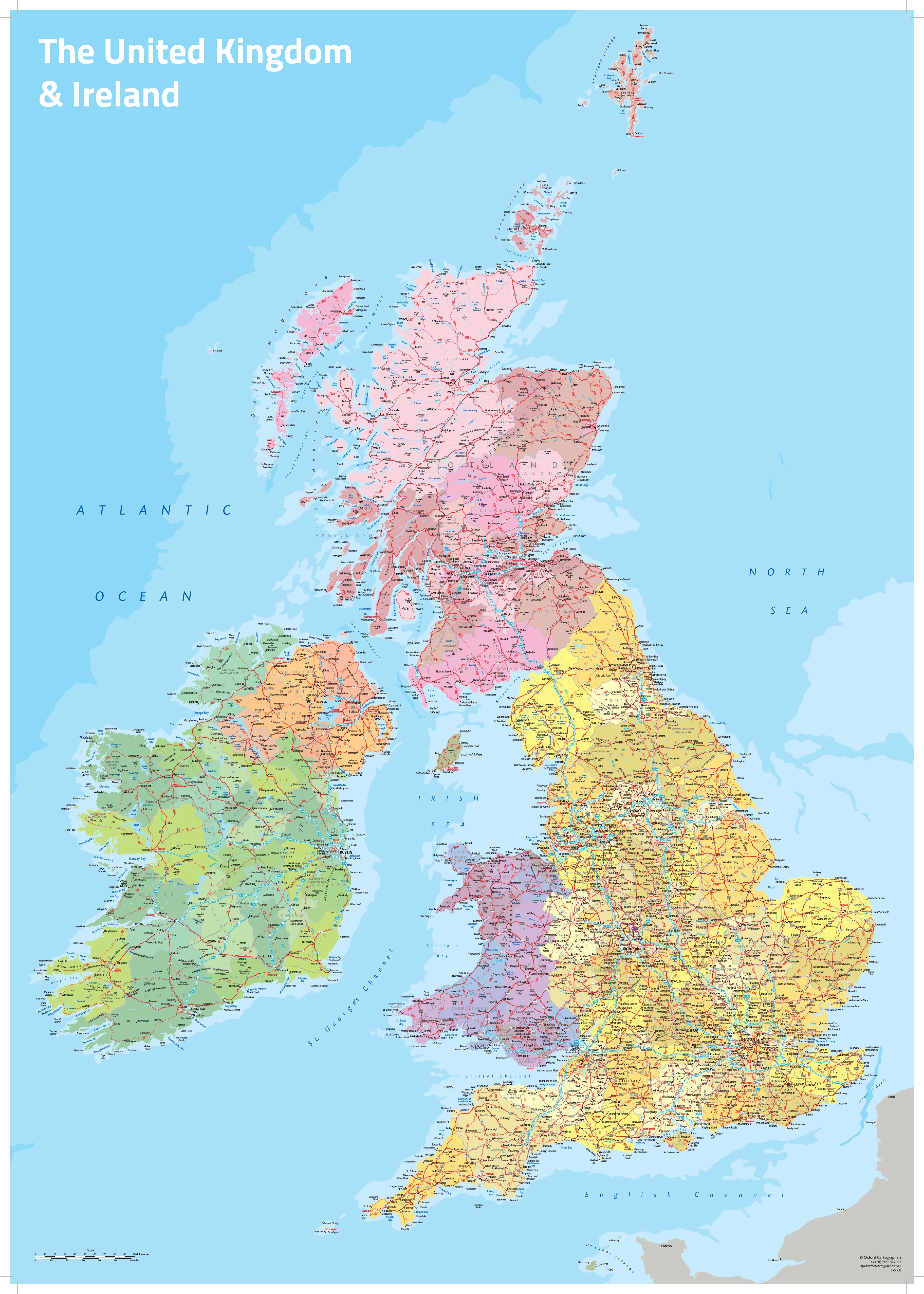
County Map of Nottinghamshire 760 x 940mm
Explore the Heart of Robin Hood Country with Timeless Ordnance Survey Detail
Delve into the historic and natural richness of Nottinghamshire with this beautifully crafted county map, printed using up-to-date Ordnance Survey data. From the ancient woodlands of Sherwood Forest to the vibrant city of Nottingham, this wall map presents the entire county in superb detail, clearly highlighting its boundaries and surrounding landscape.
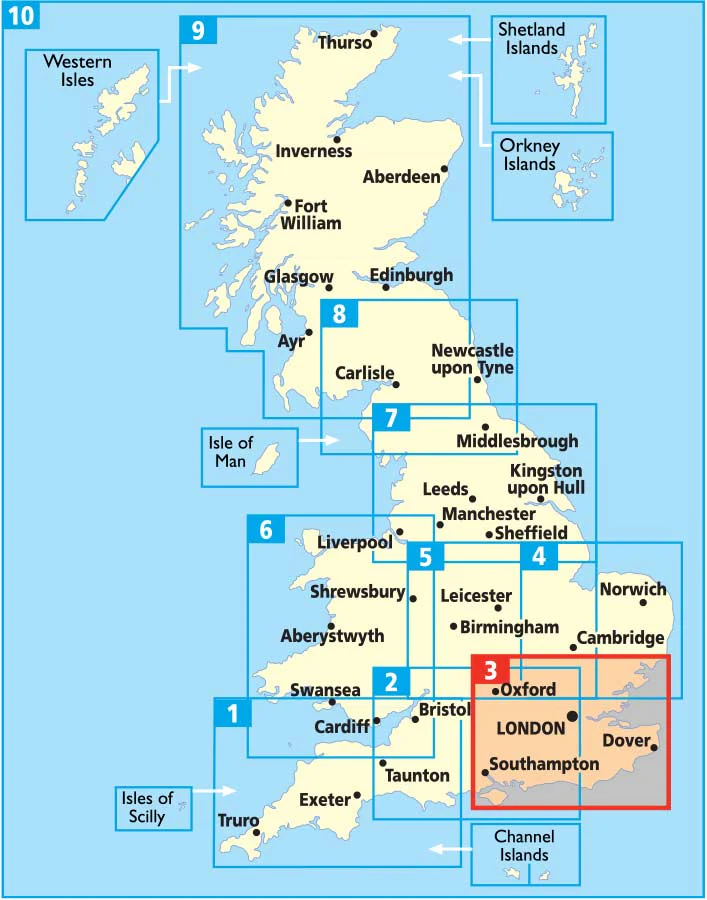
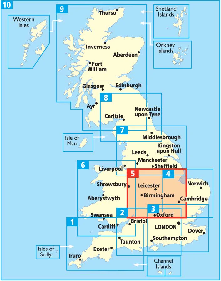
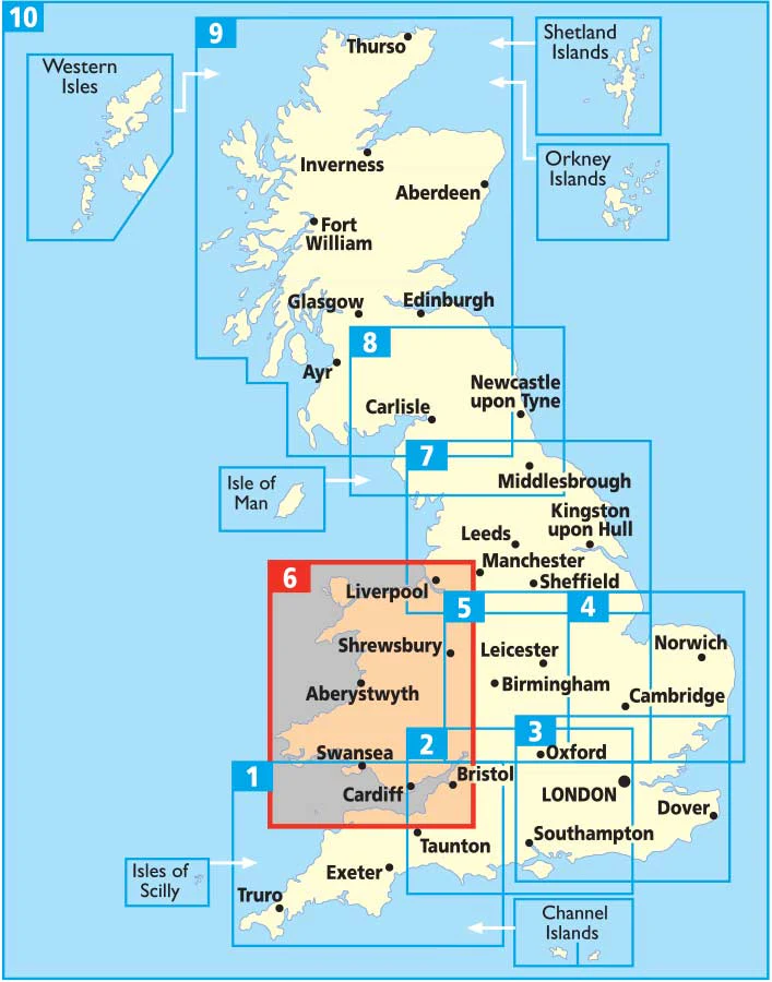
As part of a visually harmonious County Wall Map Series, this edition maintains a consistent cartographic style across England, Scotland, and Wales, making it perfect for collectors, educators, and local history enthusiasts alike.
With faded cartography beyond the county lines, Nottinghamshire takes centre stage — making this an exceptional map for display, reference, or inspiration.
🌿 Key Features
-
📍 Full county coverage with clear administrative boundaries and place names
-
🗺️ Based on official Ordnance Survey mapping — detailed and highly accurate
-
🧭 Surrounding counties faded out to accentuate Nottinghamshire’s shape and scope
-
🧩 Part of a series of UK county maps designed for seamless visual consistency
-
🏞️ Includes major towns, rivers, roads, parks, and physical features
🏙️ Notable Locations Featured
| Town/Area | Highlights |
|---|---|
| Nottingham | Robin Hood heritage, Nottingham Castle, Lace Market |
| Mansfield | Gateway to Sherwood Forest, market town charm |
| Newark-on-Trent | Historic castle, Civil War centre, and riverside views |
| Worksop | Clumber Park, the Dukeries, and stately homes |
| Southwell | Minster town and Roman roots |
📐 Map Specifications
| Attribute | Details |
|---|---|
| Map Dimensions | 760 mm (wide) x 940 mm (high) |
| Mapping Source | Ordnance Survey |
| Edition | 2021 |
| Series | County Wall Map Collection (UK) |
🖨️ Format Options
| 📄 Format | 📝 Description |
|---|---|
| Paper | 160 gsm high-quality matte paper — perfect for framing under glass. |
| Laminated | Fully encapsulated in 80-micron gloss laminate — wipe-clean, waterproof, and durable. |
| Laminated with Hang Rails | Ready to display with timber rails and hanging cord — ideal for homes, offices, or classrooms. |
| Canvas | Printed on 395 gsm HP Matte Canvas with pigment-based archival inks — fade-resistant and rich in detail. |
| Canvas with Hang Rails | Supplied ready-to-hang with natural timber hang rails and top cord — the ultimate decorative finish. |
🛠️ Please allow up to 10 working days for hang-railed versions, as they are custom-mounted by our professional framer.
🎯 Perfect For:
-
Local history lovers and genealogists
-
Town and parish councils or planning departments
-
Educational settings and public libraries
-
Decorative office or study wall displays
-
Anyone with a passion for Nottinghamshire’s landscapes, heritage, or stories
Celebrate the land of legends, lace, and leafy glades — from the city that gave us Robin Hood to the green heart of the Midlands.
📌 A meaningful and functional map that brings Nottinghamshire to life — in style and scale.
Original: $69.95
-70%$69.95
$20.98
Description
Explore the Heart of Robin Hood Country with Timeless Ordnance Survey Detail
Delve into the historic and natural richness of Nottinghamshire with this beautifully crafted county map, printed using up-to-date Ordnance Survey data. From the ancient woodlands of Sherwood Forest to the vibrant city of Nottingham, this wall map presents the entire county in superb detail, clearly highlighting its boundaries and surrounding landscape.
As part of a visually harmonious County Wall Map Series, this edition maintains a consistent cartographic style across England, Scotland, and Wales, making it perfect for collectors, educators, and local history enthusiasts alike.
With faded cartography beyond the county lines, Nottinghamshire takes centre stage — making this an exceptional map for display, reference, or inspiration.
🌿 Key Features
-
📍 Full county coverage with clear administrative boundaries and place names
-
🗺️ Based on official Ordnance Survey mapping — detailed and highly accurate
-
🧭 Surrounding counties faded out to accentuate Nottinghamshire’s shape and scope
-
🧩 Part of a series of UK county maps designed for seamless visual consistency
-
🏞️ Includes major towns, rivers, roads, parks, and physical features
🏙️ Notable Locations Featured
| Town/Area | Highlights |
|---|---|
| Nottingham | Robin Hood heritage, Nottingham Castle, Lace Market |
| Mansfield | Gateway to Sherwood Forest, market town charm |
| Newark-on-Trent | Historic castle, Civil War centre, and riverside views |
| Worksop | Clumber Park, the Dukeries, and stately homes |
| Southwell | Minster town and Roman roots |
📐 Map Specifications
| Attribute | Details |
|---|---|
| Map Dimensions | 760 mm (wide) x 940 mm (high) |
| Mapping Source | Ordnance Survey |
| Edition | 2021 |
| Series | County Wall Map Collection (UK) |
🖨️ Format Options
| 📄 Format | 📝 Description |
|---|---|
| Paper | 160 gsm high-quality matte paper — perfect for framing under glass. |
| Laminated | Fully encapsulated in 80-micron gloss laminate — wipe-clean, waterproof, and durable. |
| Laminated with Hang Rails | Ready to display with timber rails and hanging cord — ideal for homes, offices, or classrooms. |
| Canvas | Printed on 395 gsm HP Matte Canvas with pigment-based archival inks — fade-resistant and rich in detail. |
| Canvas with Hang Rails | Supplied ready-to-hang with natural timber hang rails and top cord — the ultimate decorative finish. |
🛠️ Please allow up to 10 working days for hang-railed versions, as they are custom-mounted by our professional framer.
🎯 Perfect For:
-
Local history lovers and genealogists
-
Town and parish councils or planning departments
-
Educational settings and public libraries
-
Decorative office or study wall displays
-
Anyone with a passion for Nottinghamshire’s landscapes, heritage, or stories
Celebrate the land of legends, lace, and leafy glades — from the city that gave us Robin Hood to the green heart of the Midlands.
📌 A meaningful and functional map that brings Nottinghamshire to life — in style and scale.