Everest Base Camp National Geographic Folded Map
🏔️ Everest Base Camp Adventure Map – National Geographic
Folded Map | Waterproof & Tear-Resistant | Designed for Trekkers & Mountaineers
Scale: Varies by region (Topographic & Trail Detail)
Format: Folded, double-sided map
Material: Durable synthetic waterproof paper
Unfolded Size: 965 mm x 660 mm (38" x 26")
Folded Size: 235 mm x 108 mm (9.25" x 4.25")
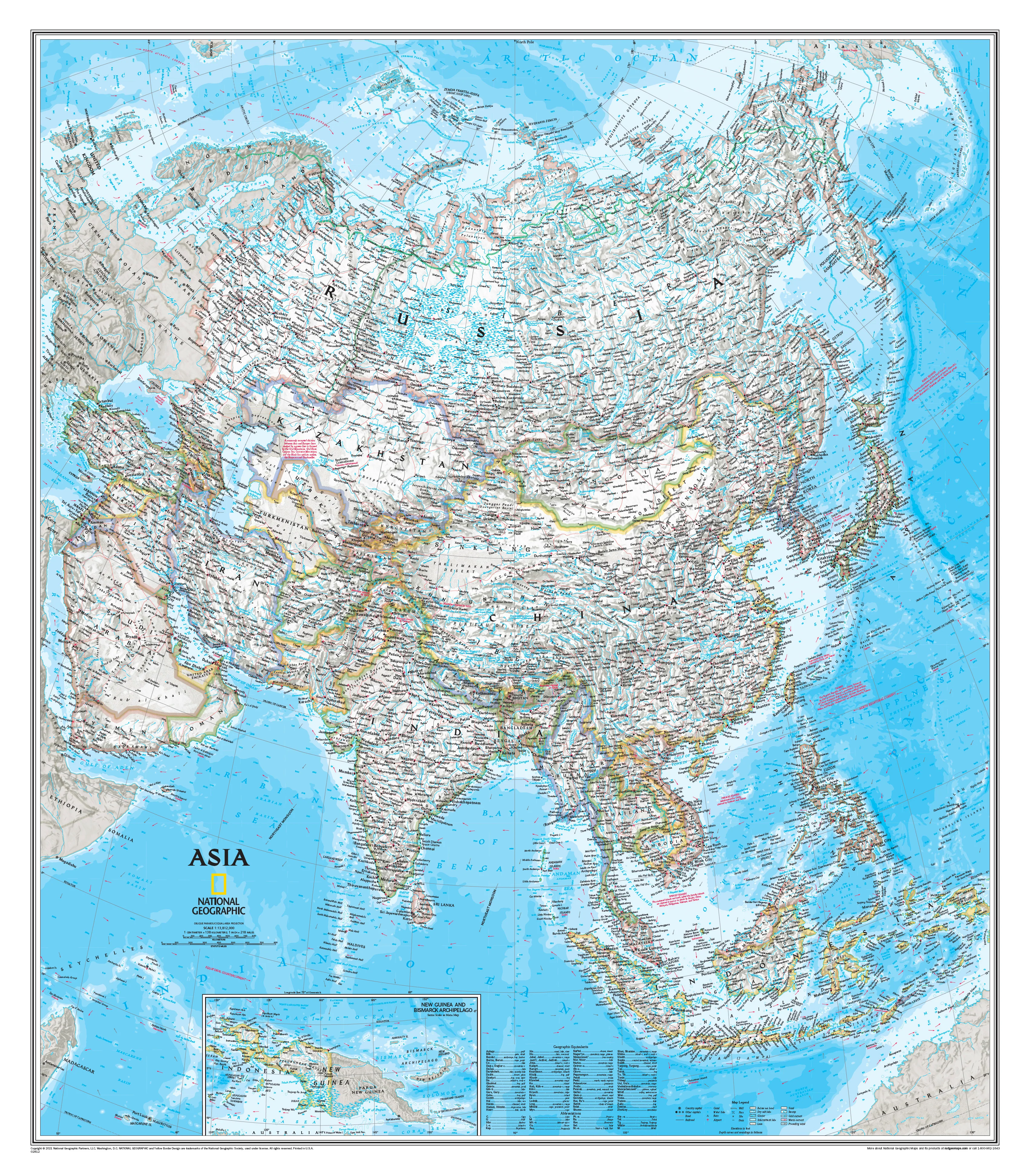
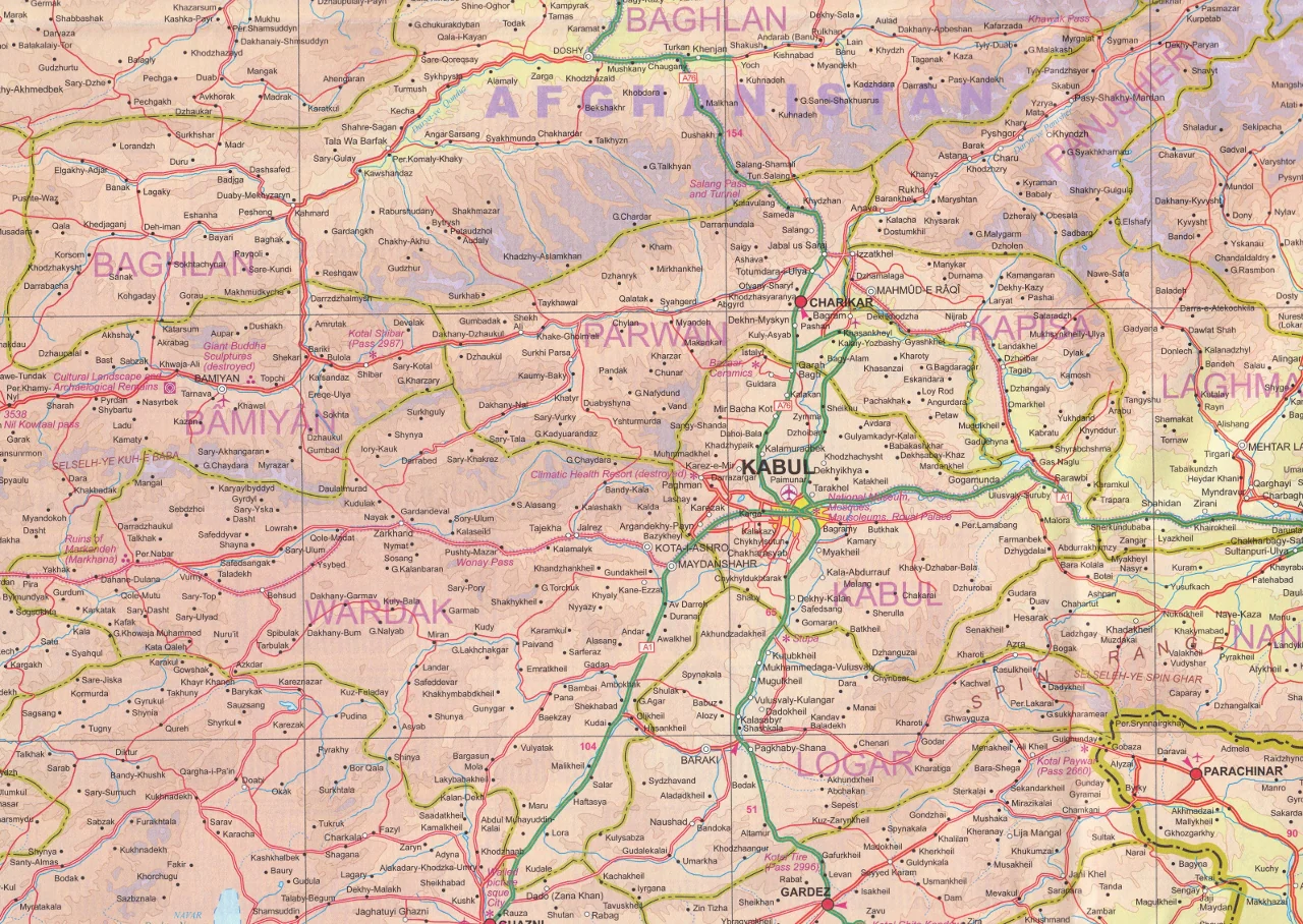
Explore one of the world’s most iconic trekking routes with the Everest Base Camp Adventure Map by National Geographic — designed specifically for adventure travelers, trekkers, and mountaineers venturing into the heart of the Nepal Himalaya. Whether you’re planning the classic EBC trek from Lukla, or exploring the broader Khumbu region, this rugged and highly detailed map is your perfect trail companion.
Printed on waterproof, tear-resistant synthetic paper, this map is built to withstand alpine weather, rough backpacks, and frequent use — a must-have for anyone journeying to the roof of the world.
🧭 Key Features
-
🏔️ Detailed topographic trail routes to Everest Base Camp and surrounding peaks
-
🗺️ Towns, villages, tea houses, and lodges marked for easy planning
-
🧗♂️ Shows altitude profiles, trekking distances, and elevation gains
-
🔍 Includes a user-friendly index and clearly marked trekking paths, roads, and tracks
-
🏞️ Highlights major attractions including Namche Bazaar, Tengboche Monastery, Kala Patthar, Gokyo Lakes, and more
-
📍 Includes GPS-friendly latitude and longitude grid
-
🧭 Compass rose, scale bar, and distance markers for navigation ease
🌍 Area of Coverage
The map offers extensive coverage of the Everest Region, including:
-
Everest Base Camp and the Khumbu Glacier
-
Sagarmatha National Park
-
Lukla to Kala Patthar trekking route
-
Gokyo Ri and alternative trekking routes
-
Surrounding peaks, rivers, and glacial valleys
-
Cultural highlights and Himalayan villages
🧳 Who Is This Map For?
Ideal for:
-
🥾 Everest Base Camp trekkers
-
🧗 Alpine adventurers and mountaineers
-
🧭 Guides, porters, and expedition planners
-
🎒 Independent hikers and tour operators
-
📚 Students and geography enthusiasts exploring the Himalaya
📦 Product Specifications
| Feature | Details |
|---|---|
| Publisher | National Geographic Maps |
| Series | Adventure Map Series |
| Scale | Varies – includes trail and topographic detail |
| Format | Folded, double-sided |
| Material | Waterproof, tear-resistant synthetic paper |
| Unfolded Size | 965 mm x 660 mm (38" x 26") |
| Folded Size | 235 mm x 108 mm (9.25" x 4.25") |
| Language | English |
✅ Why Choose This Map?
✔️ Trail-tested by adventurers and professionally designed by National Geographic’s cartographic experts
✔️ Essential for trekking and route planning in Nepal’s Everest region
✔️ Resilient against cold, snow, wind, and rain — it goes where you go
✔️ More compact and durable than a guidebook — folds down small but opens wide for full coverage
📦 Ships from Australia — in stock and ready for your next Himalayan journey.
🎒 Add this to your trekking kit and navigate Everest with confidence.
Original: $27.95
-70%$27.95
$8.38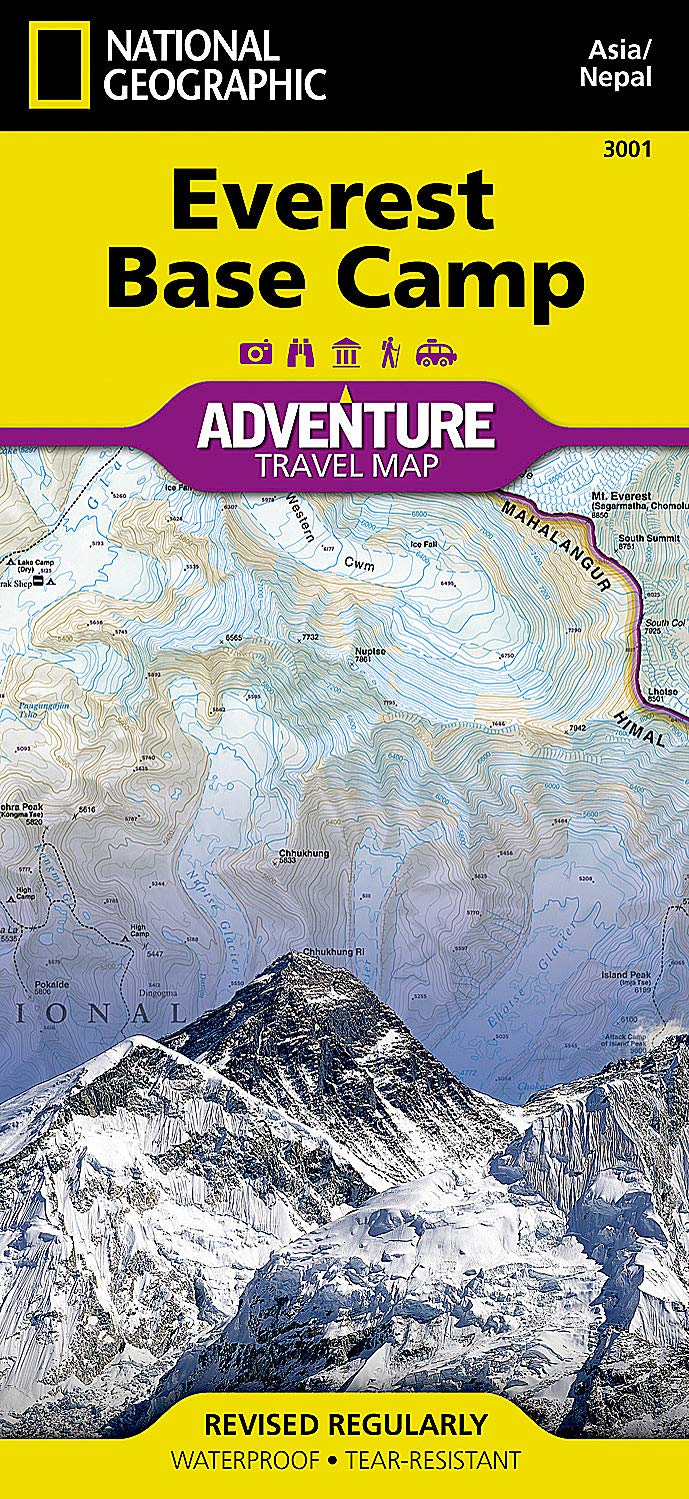


Description
🏔️ Everest Base Camp Adventure Map – National Geographic
Folded Map | Waterproof & Tear-Resistant | Designed for Trekkers & Mountaineers
Scale: Varies by region (Topographic & Trail Detail)
Format: Folded, double-sided map
Material: Durable synthetic waterproof paper
Unfolded Size: 965 mm x 660 mm (38" x 26")
Folded Size: 235 mm x 108 mm (9.25" x 4.25")
Explore one of the world’s most iconic trekking routes with the Everest Base Camp Adventure Map by National Geographic — designed specifically for adventure travelers, trekkers, and mountaineers venturing into the heart of the Nepal Himalaya. Whether you’re planning the classic EBC trek from Lukla, or exploring the broader Khumbu region, this rugged and highly detailed map is your perfect trail companion.
Printed on waterproof, tear-resistant synthetic paper, this map is built to withstand alpine weather, rough backpacks, and frequent use — a must-have for anyone journeying to the roof of the world.
🧭 Key Features
-
🏔️ Detailed topographic trail routes to Everest Base Camp and surrounding peaks
-
🗺️ Towns, villages, tea houses, and lodges marked for easy planning
-
🧗♂️ Shows altitude profiles, trekking distances, and elevation gains
-
🔍 Includes a user-friendly index and clearly marked trekking paths, roads, and tracks
-
🏞️ Highlights major attractions including Namche Bazaar, Tengboche Monastery, Kala Patthar, Gokyo Lakes, and more
-
📍 Includes GPS-friendly latitude and longitude grid
-
🧭 Compass rose, scale bar, and distance markers for navigation ease
🌍 Area of Coverage
The map offers extensive coverage of the Everest Region, including:
-
Everest Base Camp and the Khumbu Glacier
-
Sagarmatha National Park
-
Lukla to Kala Patthar trekking route
-
Gokyo Ri and alternative trekking routes
-
Surrounding peaks, rivers, and glacial valleys
-
Cultural highlights and Himalayan villages
🧳 Who Is This Map For?
Ideal for:
-
🥾 Everest Base Camp trekkers
-
🧗 Alpine adventurers and mountaineers
-
🧭 Guides, porters, and expedition planners
-
🎒 Independent hikers and tour operators
-
📚 Students and geography enthusiasts exploring the Himalaya
📦 Product Specifications
| Feature | Details |
|---|---|
| Publisher | National Geographic Maps |
| Series | Adventure Map Series |
| Scale | Varies – includes trail and topographic detail |
| Format | Folded, double-sided |
| Material | Waterproof, tear-resistant synthetic paper |
| Unfolded Size | 965 mm x 660 mm (38" x 26") |
| Folded Size | 235 mm x 108 mm (9.25" x 4.25") |
| Language | English |
✅ Why Choose This Map?
✔️ Trail-tested by adventurers and professionally designed by National Geographic’s cartographic experts
✔️ Essential for trekking and route planning in Nepal’s Everest region
✔️ Resilient against cold, snow, wind, and rain — it goes where you go
✔️ More compact and durable than a guidebook — folds down small but opens wide for full coverage
📦 Ships from Australia — in stock and ready for your next Himalayan journey.
🎒 Add this to your trekking kit and navigate Everest with confidence.