Victoria UBD 370 Map 2000 x 1400mm Laminated Wall Map
The Ultimate Wall Map of Victoria
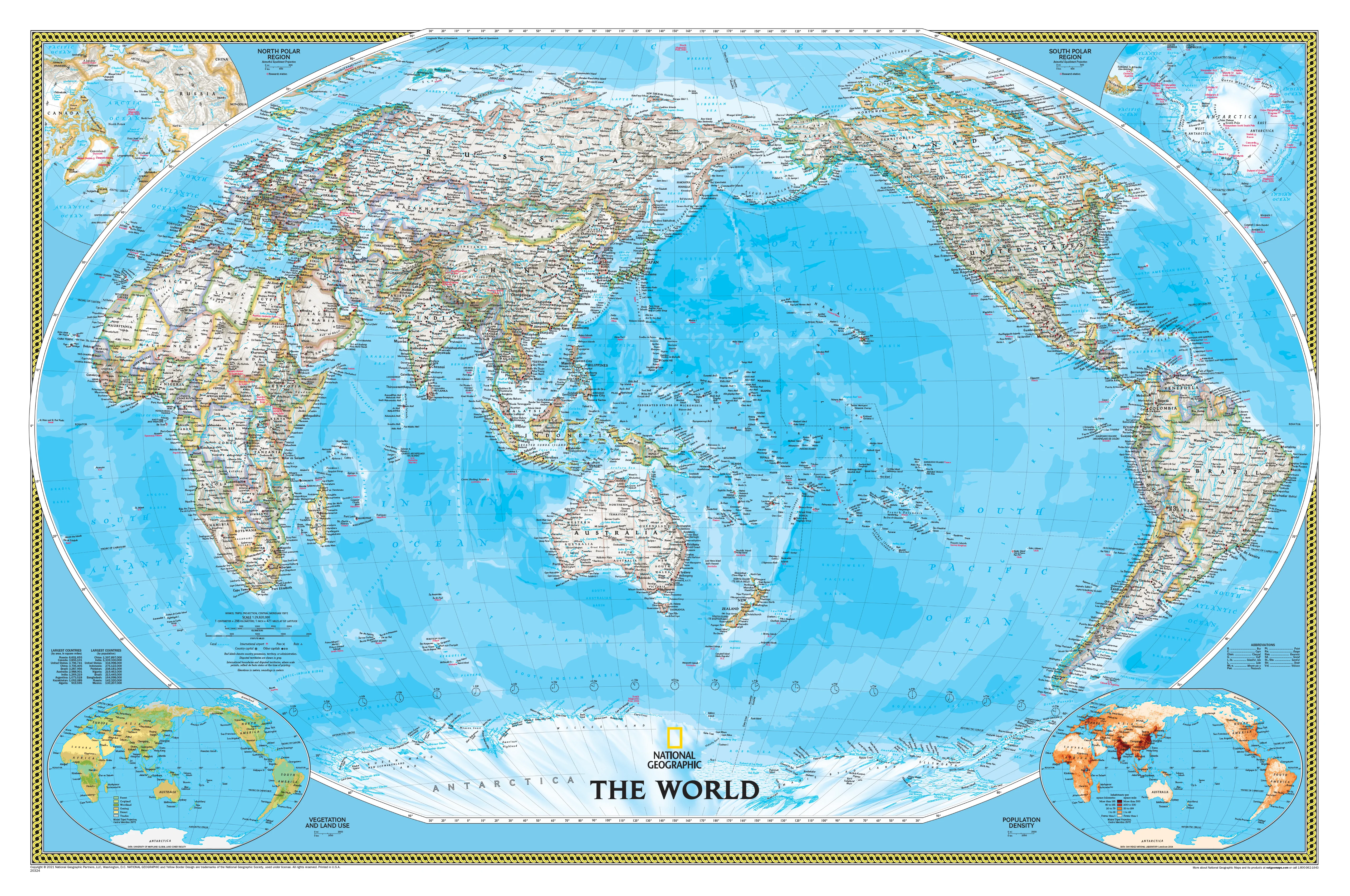
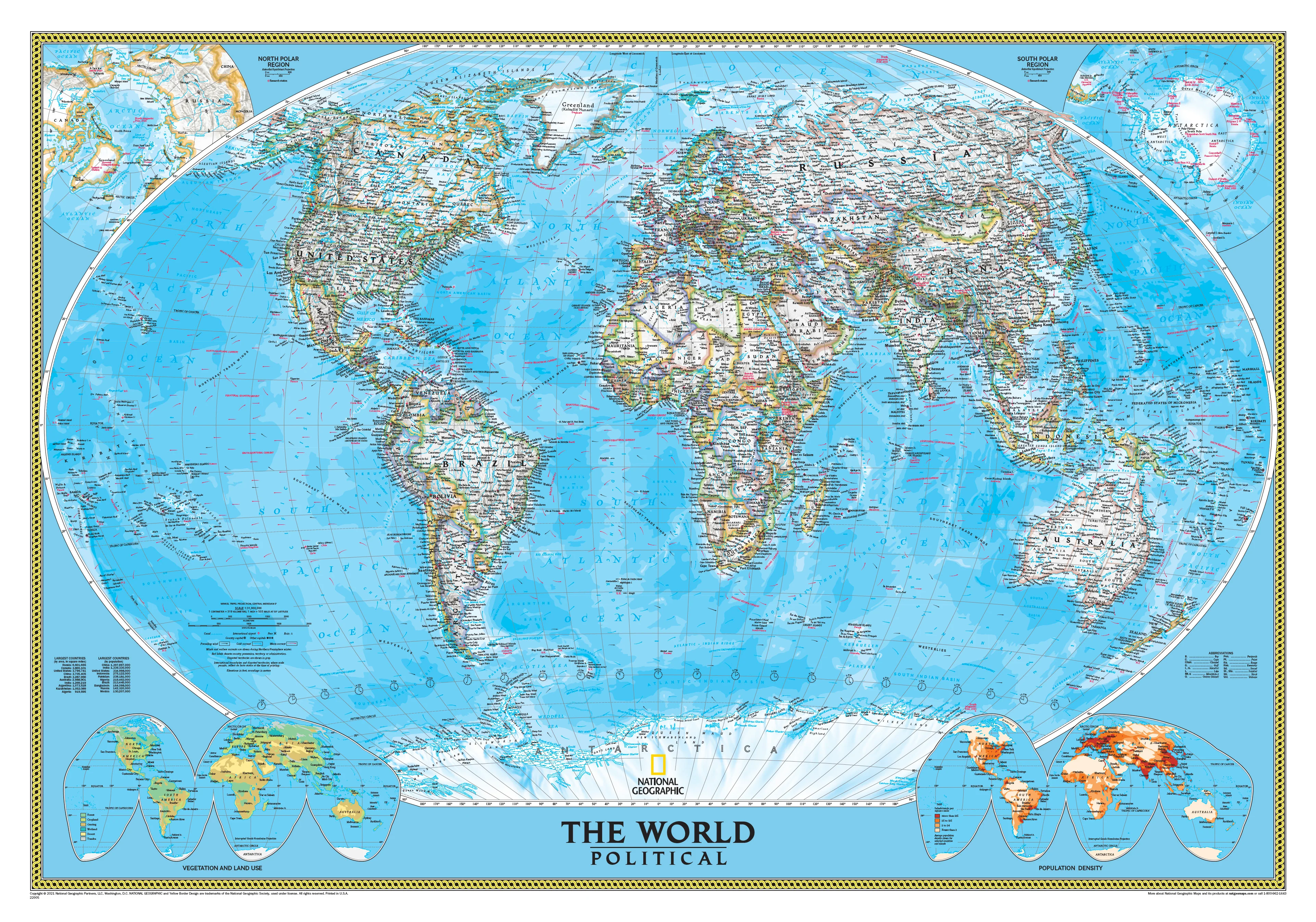
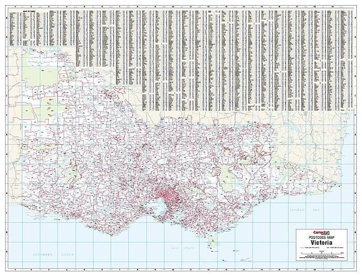
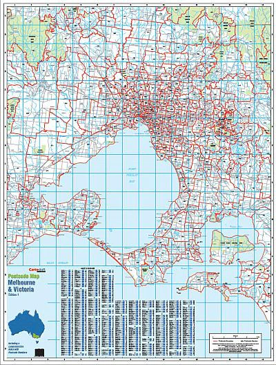
The Victoria State Mega Map by UBD Gregory's is a true giant among wall maps—measuring an impressive 2.0 metres wide by 1.4 metres high. This is the largest single-sheet map of Victoria available, making it the perfect centrepiece for offices, classrooms, councils, transport companies, or home planners who need maximum detail at a glance.
Designed for serious users and visual thinkers alike, this map delivers a powerful combination of scale, clarity, and rich cartographic detail.
🧭 Key Features
| Category | Details |
|---|---|
| Publisher | UBD Gregory’s |
| Edition | State Map Series – Victoria 370 |
| Format | Single Sheet, Laminated |
| Size | 2000 mm (W) x 1400 mm (H) |
| Map Type | Political/Physical reference map |
| Coverage | Entire state of Victoria |
| Finish | Gloss-laminated (100-micron encapsulation) |
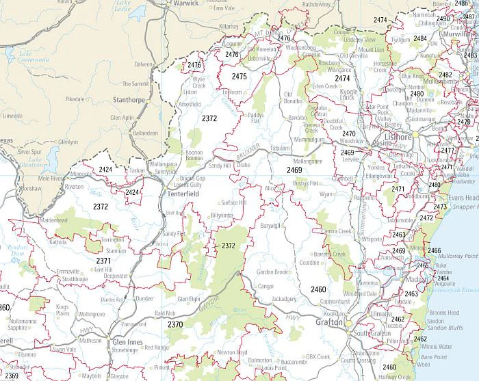
🏞️ What’s Displayed on the Map?
This highly detailed map includes:
-
All towns, cities, and homesteads
-
Clearly marked national highways, dual carriageways, and secondary roads
-
State and national parks, nature reserves, and conservation areas
-
Rivers, lakes, and other key natural features
-
An index of major and minor locations for quick reference
Whether you’re routing delivery networks, planning holiday itineraries, or coordinating regional projects, this is the map professionals rely on.
🖊️ Durable, Writable, and Wipe-Clean
Encapsulated in high-quality 80-micron gloss laminate, this map is:
-
✅ Tear-resistant and water-repellent
-
✅ Suitable for use with whiteboard markers and map dots
-
✅ Wipe-clean for repeated use—ideal for logistics, education, or public display
-
✅ Long-lasting and fade-resistant, even in high-traffic or sunlit areas
📍 Perfect For:
-
Local government and council planning departments
-
Transport & logistics companies
-
Tourism operators and visitor centres
-
Schools and universities
-
Rural property planning and agricultural operations
-
Strategic planning in real estate, emergency services, and utilities
-
Or simply as a beautiful, functional wall feature in your home or office
🛠️ Custom Finishes Available
Want to display this map with even more elegance and ease?
Ask us about:
-
✅ Timber hang rails
-
✅ Canvas printing
-
✅ Framing options
✔️ Summary
-
Victoria’s largest single-sheet wall map
-
Printed on quality stock and encapsulated in durable laminate
-
Easy to read, mark on, and clean
-
Covers the entire state in extraordinary detail
-
Ideal for professional, educational, and personal use
Plan smarter, travel better, and stay informed—with Victoria's most comprehensive and visually commanding map.

Description
The Ultimate Wall Map of Victoria
The Victoria State Mega Map by UBD Gregory's is a true giant among wall maps—measuring an impressive 2.0 metres wide by 1.4 metres high. This is the largest single-sheet map of Victoria available, making it the perfect centrepiece for offices, classrooms, councils, transport companies, or home planners who need maximum detail at a glance.
Designed for serious users and visual thinkers alike, this map delivers a powerful combination of scale, clarity, and rich cartographic detail.
🧭 Key Features
| Category | Details |
|---|---|
| Publisher | UBD Gregory’s |
| Edition | State Map Series – Victoria 370 |
| Format | Single Sheet, Laminated |
| Size | 2000 mm (W) x 1400 mm (H) |
| Map Type | Political/Physical reference map |
| Coverage | Entire state of Victoria |
| Finish | Gloss-laminated (100-micron encapsulation) |
🏞️ What’s Displayed on the Map?
This highly detailed map includes:
-
All towns, cities, and homesteads
-
Clearly marked national highways, dual carriageways, and secondary roads
-
State and national parks, nature reserves, and conservation areas
-
Rivers, lakes, and other key natural features
-
An index of major and minor locations for quick reference
Whether you’re routing delivery networks, planning holiday itineraries, or coordinating regional projects, this is the map professionals rely on.
🖊️ Durable, Writable, and Wipe-Clean
Encapsulated in high-quality 80-micron gloss laminate, this map is:
-
✅ Tear-resistant and water-repellent
-
✅ Suitable for use with whiteboard markers and map dots
-
✅ Wipe-clean for repeated use—ideal for logistics, education, or public display
-
✅ Long-lasting and fade-resistant, even in high-traffic or sunlit areas
📍 Perfect For:
-
Local government and council planning departments
-
Transport & logistics companies
-
Tourism operators and visitor centres
-
Schools and universities
-
Rural property planning and agricultural operations
-
Strategic planning in real estate, emergency services, and utilities
-
Or simply as a beautiful, functional wall feature in your home or office
🛠️ Custom Finishes Available
Want to display this map with even more elegance and ease?
Ask us about:
-
✅ Timber hang rails
-
✅ Canvas printing
-
✅ Framing options
✔️ Summary
-
Victoria’s largest single-sheet wall map
-
Printed on quality stock and encapsulated in durable laminate
-
Easy to read, mark on, and clean
-
Covers the entire state in extraordinary detail
-
Ideal for professional, educational, and personal use
Plan smarter, travel better, and stay informed—with Victoria's most comprehensive and visually commanding map.