Western Australia UBD 670 map 1020 x 1480mm Laminated Wall Map with Hang Rails
Laminated + Natural Timber Hang Rails
Size: 1020 mm (W) × 1480 mm (H)
Proudly Made in Australia
🧭 Discover, Plan, and Navigate the Vastness of WA — With Confidence
From the windswept cliffs of the Kimberley to the vineyards of Margaret River, Western Australia is a land of immense scale and extraordinary variety. Whether you're managing a regional business, planning community infrastructure, or teaching Australia’s geography, this large-format laminated wall map by UBD Gregory’s brings the entirety of WA into crystal-clear focus.
Ideal for daily reference and strategic planning, this map is more than just a display piece — it’s a powerful working tool that makes regional engagement easier, smarter, and more efficient.
🔍 Map Features at a Glance
🗺️ Full State Coverage
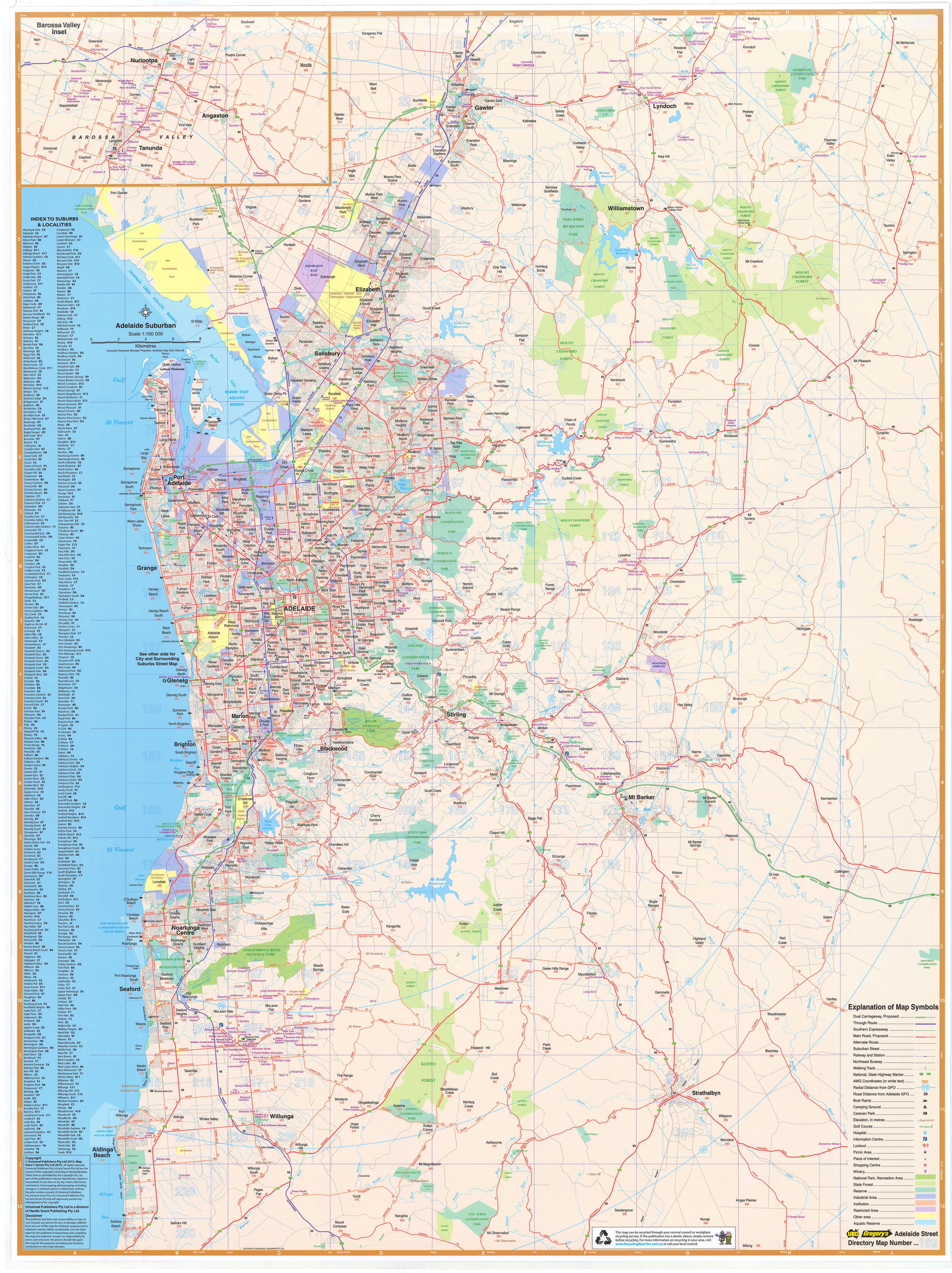
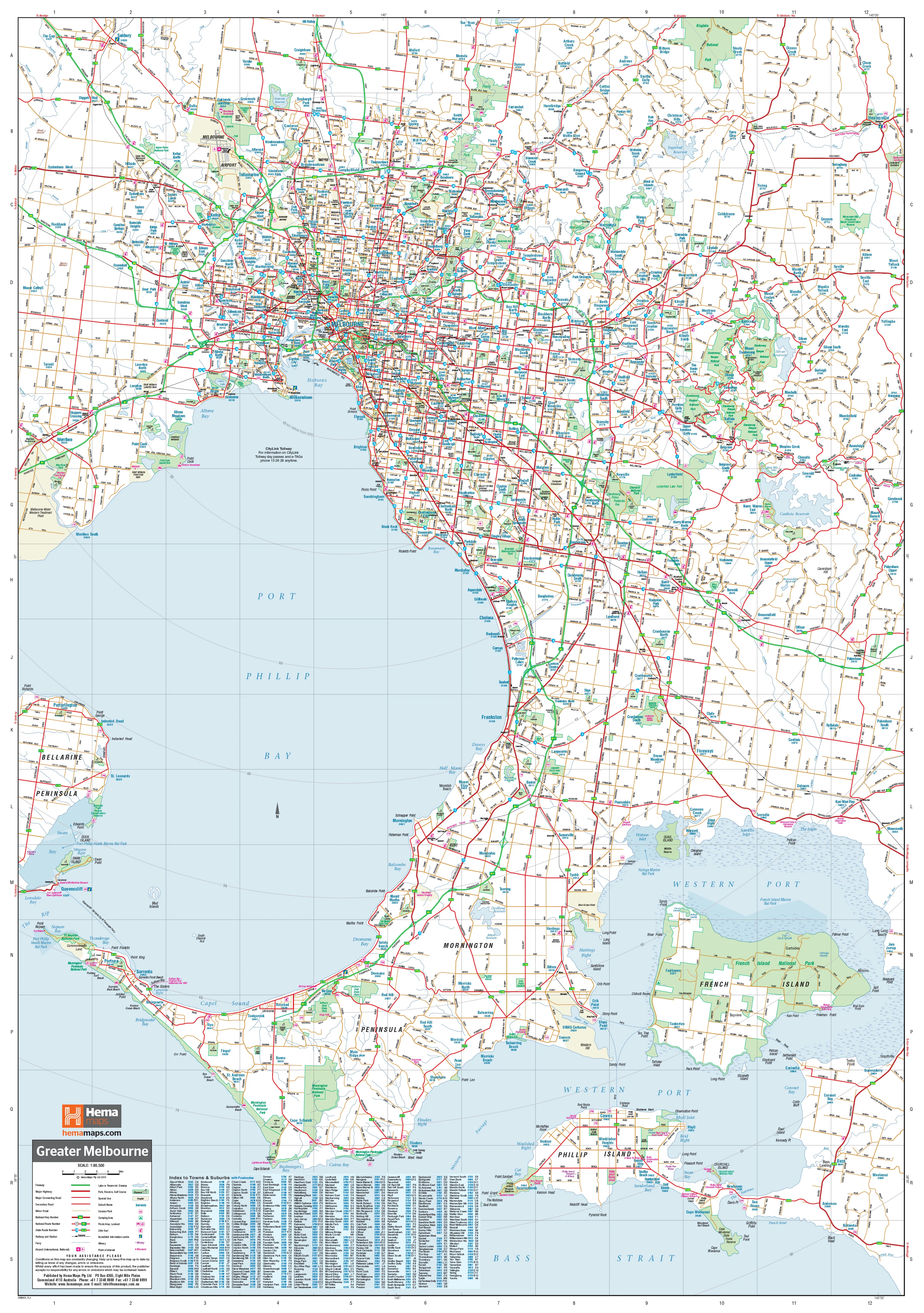
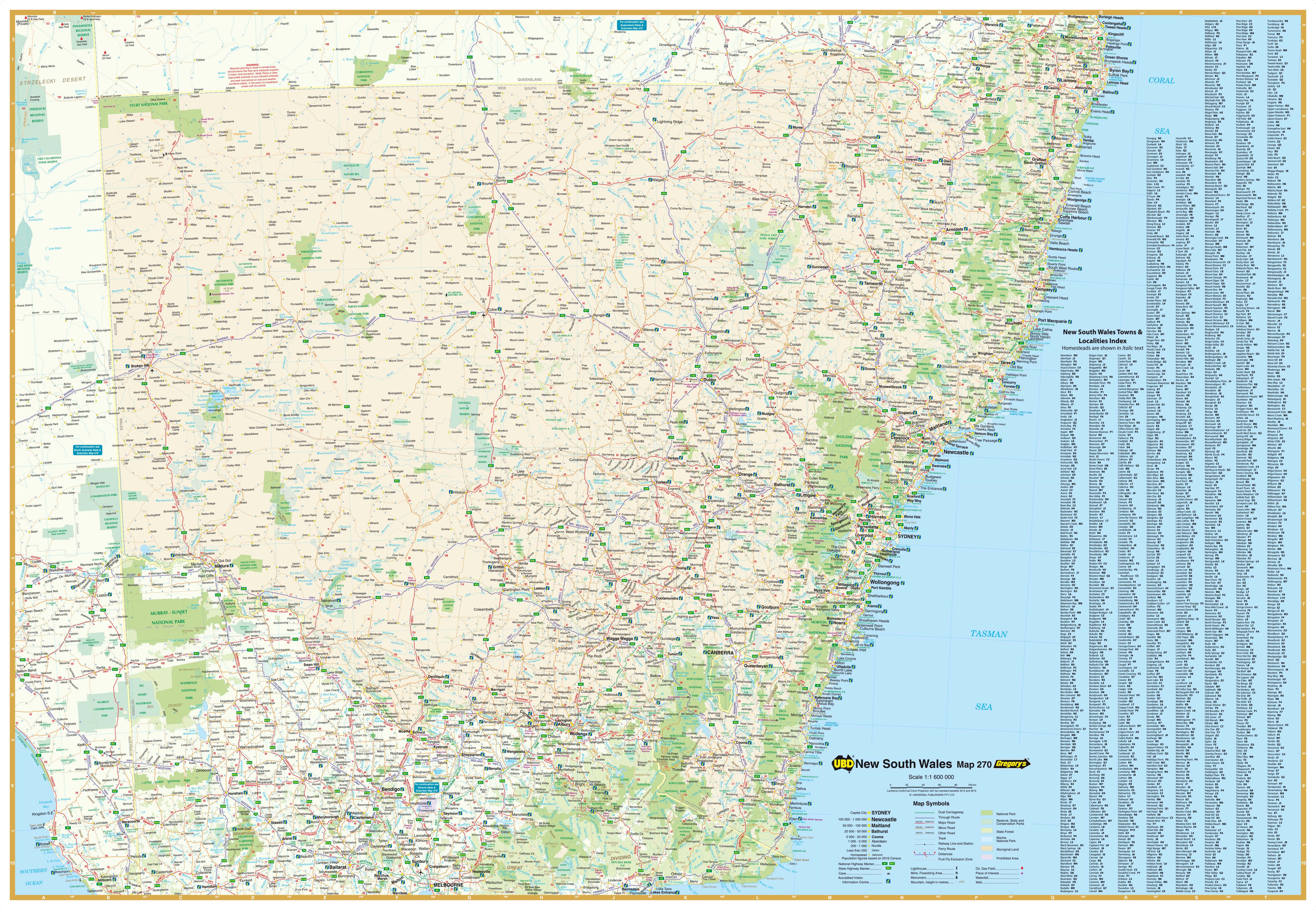
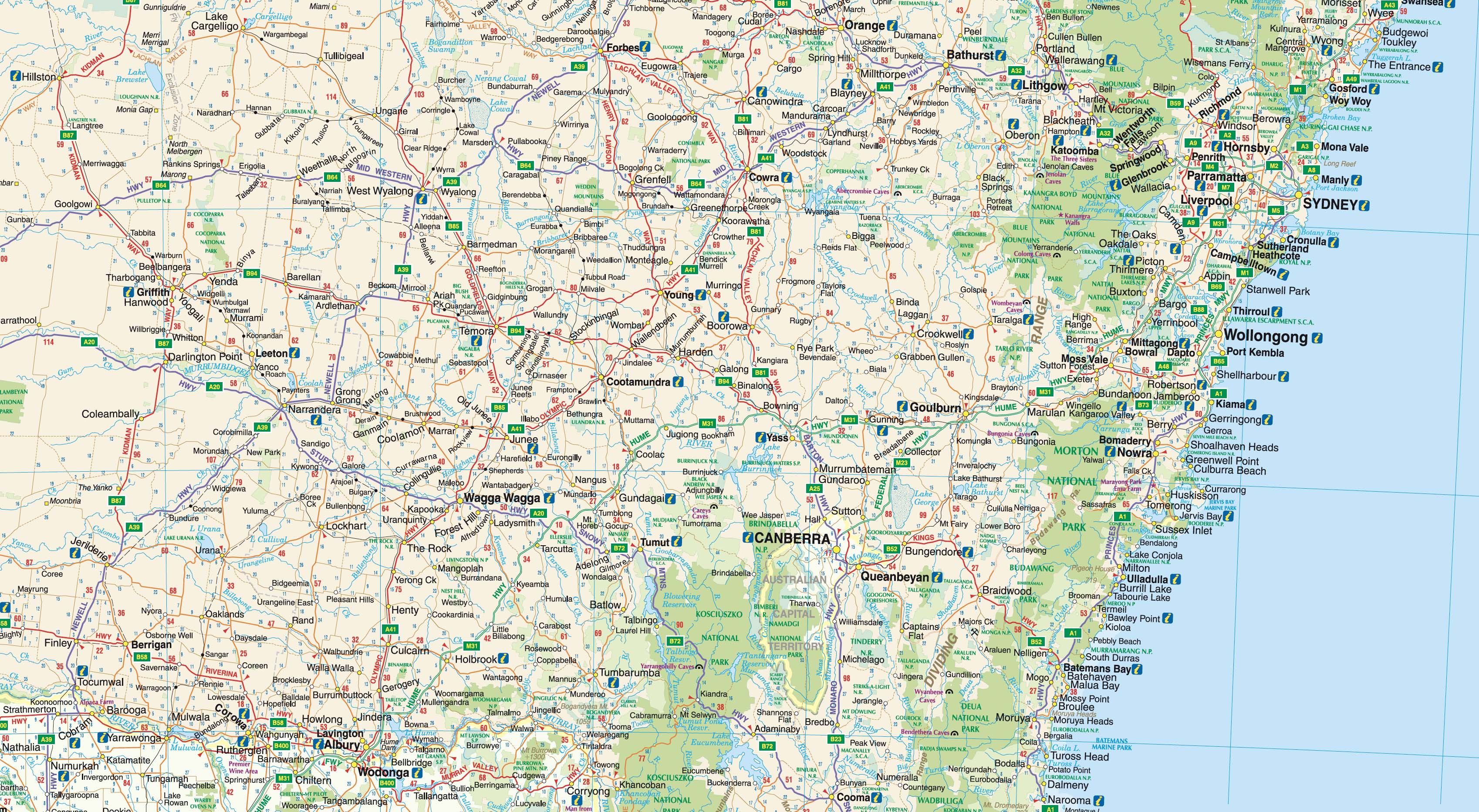
Covers the entire state of Western Australia, including all major highways, towns, regions, and infrastructure. A perfect reference for any organisation operating across the state.
📍 Indexed Towns & Cities
Includes an exhaustive, fully indexed listing of all major and minor regional towns, making location identification fast and reliable.
🛣️ Detailed Road Network
Clearly marks dual carriageways, national highways, and main regional routes — a vital resource for logistics managers, transport operators, and regional planners.
🌳 National Parks & Nature Reserves
Protected areas are shaded and labelled, making the map ideal for environmental planning, tourism operators, or outdoor education.
🗺️ Inset Map of South West WA
A focused inset at 1:870,000 scale provides enhanced clarity of the South West — WA’s most populous and commercially active region, including Perth, Albany, Busselton, and Bunbury.
🛡️ Laminated for Long-Term, Hands-On Use
This map is encapsulated in premium 80-micron gloss laminate, making it:
🖍️ Whiteboard-Friendly – Annotate your routes, territories, or plans with whiteboard markers and wipe clean with ease.
📌 Perfect for Map Dots – Apply removable adhesive map dots to mark customer locations, projects, or points of interest.
💪 Hard-Wearing & Professional – Built to resist daily wear, stains, smudges, and tears. Whether in an office, classroom, or warehouse, this map is designed for repeat use.
🪵 Pre-Hung with Timber Rails – Just Hook and Go
This version includes natural timber hang rails attached to the top and bottom of the map:
✔️ Ready to Hang Straight from the Tube
✔️ Stabilises the Map for Flat Display
✔️ Natural Lacquered Finish Matches Any Décor
✔️ Cord on Top Rail for Easy Wall Mounting
No framing or extra hardware needed — simply put a hook or nail in the wall and your map is ready for use.
👥 Ideal For:
🚛 Logistics & Freight Companies
-
Plan and visualise delivery zones and travel corridors across the state
-
Monitor depot locations and service areas
🏛️ Government, Councils & Infrastructure Teams
-
Perfect for office display, regional development, town planning, and consultation
-
Identify jurisdictions using clearly marked LGA boundaries
🧭 Mining, Energy & Environmental Operations
-
Strategically position project zones in relation to land use and protected areas
-
Useful for health & safety briefings and asset management
🏫 Schools, TAFEs & Universities
-
A high-impact learning tool for teaching WA geography, resource distribution, or political boundaries
-
Great for classrooms, geography departments, or administrative walls
📍 Regional Businesses & Franchises
-
Identify client clusters, service boundaries, or growth zones
-
Use for staff briefings or customer-facing offices
📐 Specifications Table
| Feature | Details |
|---|---|
| Map Code | UBD 670 |
| Publisher | UBD Gregory’s |
| Coverage | Entire state of Western Australia |
| Inset Detail | South West WA – Scale 1:870,000 |
| Indexed | Yes – major and minor towns |
| Boundaries Shown | National parks, reserves, highways, LGAs |
| Material | 80-micron gloss laminated |
| Interactivity | Compatible with whiteboard markers & map dots |
| Finish | Laminated with natural timber hang rails |
| Size | 1020 mm (W) × 1480 mm (H) |
| Made In | Australia |
🚛 Delivery & Handling
-
Made to Order – Please allow 7–10 business days for production and dispatch.
-
Shipped Rolled in Protective Tube – Delivered flat and crease-free. Ready to unroll and hang immediately.
📌 Get the Big Picture — Visibly and Instantly
From high-level planning to daily team updates, this Western Australia UBD Wall Map with Hang Rails turns any office wall into a strategic centre. Its clarity, durability, and format make it a reliable asset for any business or organisation that operates across WA’s vast terrain.
🧭 See more. Plan better. Operate smarter.
🪵 Professionally laminated. Ready to hang. Built to last.
Original: $499.00
-70%$499.00
$149.70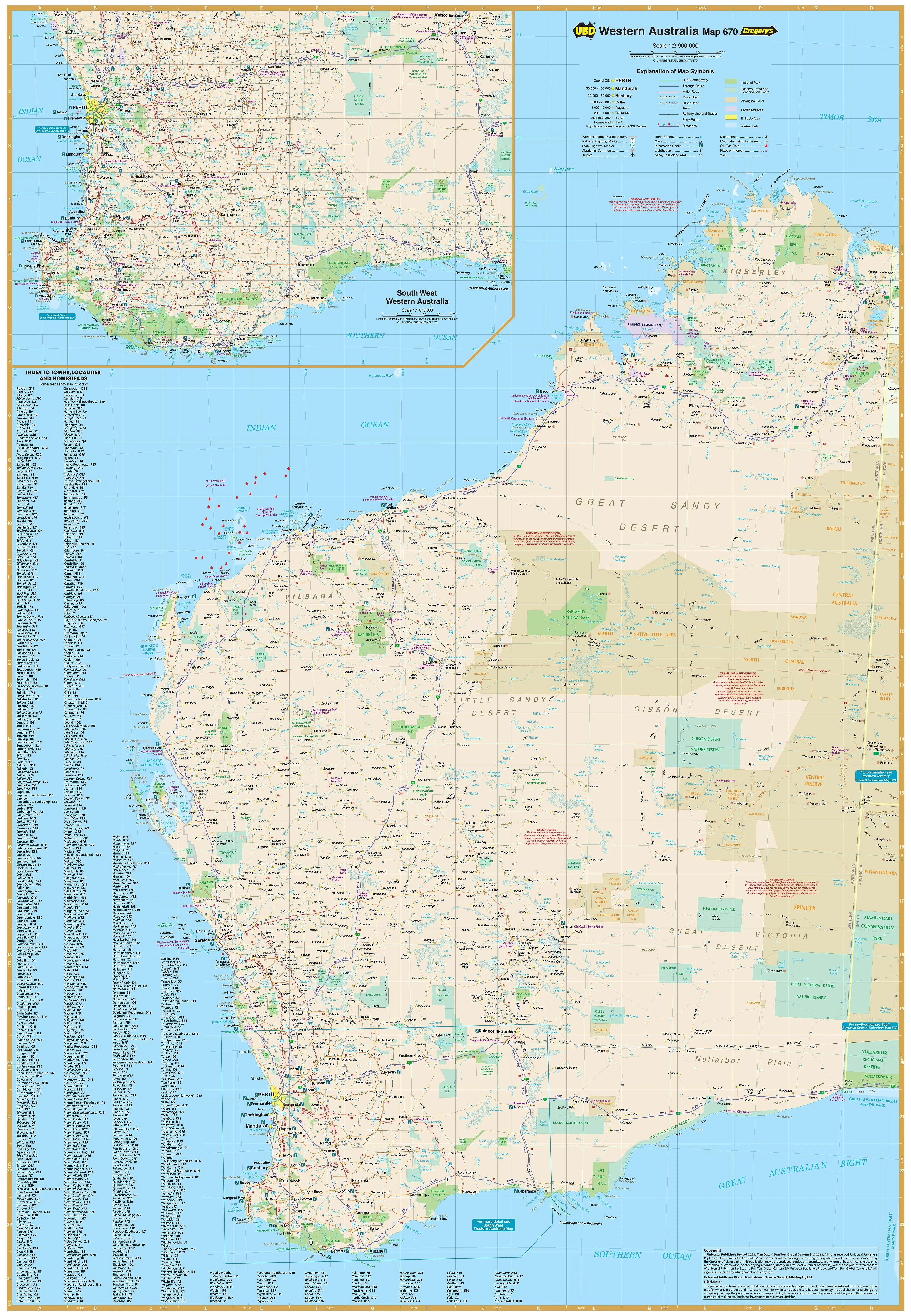
Description
Laminated + Natural Timber Hang Rails
Size: 1020 mm (W) × 1480 mm (H)
Proudly Made in Australia
🧭 Discover, Plan, and Navigate the Vastness of WA — With Confidence
From the windswept cliffs of the Kimberley to the vineyards of Margaret River, Western Australia is a land of immense scale and extraordinary variety. Whether you're managing a regional business, planning community infrastructure, or teaching Australia’s geography, this large-format laminated wall map by UBD Gregory’s brings the entirety of WA into crystal-clear focus.
Ideal for daily reference and strategic planning, this map is more than just a display piece — it’s a powerful working tool that makes regional engagement easier, smarter, and more efficient.
🔍 Map Features at a Glance
🗺️ Full State Coverage
Covers the entire state of Western Australia, including all major highways, towns, regions, and infrastructure. A perfect reference for any organisation operating across the state.
📍 Indexed Towns & Cities
Includes an exhaustive, fully indexed listing of all major and minor regional towns, making location identification fast and reliable.
🛣️ Detailed Road Network
Clearly marks dual carriageways, national highways, and main regional routes — a vital resource for logistics managers, transport operators, and regional planners.
🌳 National Parks & Nature Reserves
Protected areas are shaded and labelled, making the map ideal for environmental planning, tourism operators, or outdoor education.
🗺️ Inset Map of South West WA
A focused inset at 1:870,000 scale provides enhanced clarity of the South West — WA’s most populous and commercially active region, including Perth, Albany, Busselton, and Bunbury.
🛡️ Laminated for Long-Term, Hands-On Use
This map is encapsulated in premium 80-micron gloss laminate, making it:
🖍️ Whiteboard-Friendly – Annotate your routes, territories, or plans with whiteboard markers and wipe clean with ease.
📌 Perfect for Map Dots – Apply removable adhesive map dots to mark customer locations, projects, or points of interest.
💪 Hard-Wearing & Professional – Built to resist daily wear, stains, smudges, and tears. Whether in an office, classroom, or warehouse, this map is designed for repeat use.
🪵 Pre-Hung with Timber Rails – Just Hook and Go
This version includes natural timber hang rails attached to the top and bottom of the map:
✔️ Ready to Hang Straight from the Tube
✔️ Stabilises the Map for Flat Display
✔️ Natural Lacquered Finish Matches Any Décor
✔️ Cord on Top Rail for Easy Wall Mounting
No framing or extra hardware needed — simply put a hook or nail in the wall and your map is ready for use.
👥 Ideal For:
🚛 Logistics & Freight Companies
-
Plan and visualise delivery zones and travel corridors across the state
-
Monitor depot locations and service areas
🏛️ Government, Councils & Infrastructure Teams
-
Perfect for office display, regional development, town planning, and consultation
-
Identify jurisdictions using clearly marked LGA boundaries
🧭 Mining, Energy & Environmental Operations
-
Strategically position project zones in relation to land use and protected areas
-
Useful for health & safety briefings and asset management
🏫 Schools, TAFEs & Universities
-
A high-impact learning tool for teaching WA geography, resource distribution, or political boundaries
-
Great for classrooms, geography departments, or administrative walls
📍 Regional Businesses & Franchises
-
Identify client clusters, service boundaries, or growth zones
-
Use for staff briefings or customer-facing offices
📐 Specifications Table
| Feature | Details |
|---|---|
| Map Code | UBD 670 |
| Publisher | UBD Gregory’s |
| Coverage | Entire state of Western Australia |
| Inset Detail | South West WA – Scale 1:870,000 |
| Indexed | Yes – major and minor towns |
| Boundaries Shown | National parks, reserves, highways, LGAs |
| Material | 80-micron gloss laminated |
| Interactivity | Compatible with whiteboard markers & map dots |
| Finish | Laminated with natural timber hang rails |
| Size | 1020 mm (W) × 1480 mm (H) |
| Made In | Australia |
🚛 Delivery & Handling
-
Made to Order – Please allow 7–10 business days for production and dispatch.
-
Shipped Rolled in Protective Tube – Delivered flat and crease-free. Ready to unroll and hang immediately.
📌 Get the Big Picture — Visibly and Instantly
From high-level planning to daily team updates, this Western Australia UBD Wall Map with Hang Rails turns any office wall into a strategic centre. Its clarity, durability, and format make it a reliable asset for any business or organisation that operates across WA’s vast terrain.
🧭 See more. Plan better. Operate smarter.
🪵 Professionally laminated. Ready to hang. Built to last.